Get Full Government Meeting Transcripts, Videos, & Alerts Forever!
Get email alerts on the Rezoning topic
No spam. Unsubscribe anytime.
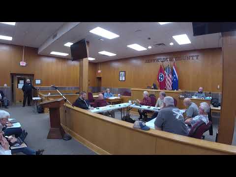
Planning commission postpones Deep Springs rezoning, forwards Smoky Mountain Lake rezoning to commission
Summary
The Regional Planning Commission postponed a rezoning request for part of a 38-acre parcel at 1359 Deep Springs Road and recommended that commissioners consider rezoning roughly 2 acres to C2 for Smoky Mountain Lake Adventures, contingent on a formal plat/survey.
At its Feb. 25 meeting the Regional Planning Commission (RPC) postponed a rezoning request from A1 (agricultural/forestry) to C2 (general commercial) for part of a 38-acre parcel at 1359 Deep Springs Road (Munn's Enterprise). The applicant said the request was intended to permit storage and yarding of excavation equipment and to create a residential site on the hilltop; neighbors raised concerns about visibility, lighting, road wear and commercial use creeping into a formerly wooded parcel. Commissioners asked for a corrected map/plat to clearly show the acreage proposed for rezoning and postponed the item to the April meeting so the applicant can submit a formal survey and clarify the requested acreage.
Separately the RPC recommended approval to county commission of a rezoning request by Smoky Mountain Lake Adventures to rezone about 2 acres (exact acreage to be surveyed) on Chestnut Hill Road and Morgan Way from rural resort to C2 for marine sales and service. The applicants said the parcel fronts Chestnut Hill Road and includes a maintenance building the marina uses; they told commissioners they were not seeking a large dealership but rather space for pontoon sales, limited service and maintenance tied to the existing marina operation. Commissioners required a formal plat/survey and asked that the applicant provide the boundary survey before the commission vote; the RPC's favorable recommendation was made contingent on the applicant providing the field survey and parcel identification that will be used in the commission resolution.
Commissioners also heard multiple public comments alleging irregularities in how a prior subdivision/plat had been handled by county staff; that discussion is summarized in a separate article.