Get Full Government Meeting Transcripts, Videos, & Alerts Forever!
Get email alerts on the Historic Trails College Trail topic
No spam. Unsubscribe anytime.
Tumwater commissioners hear plan to mark College Trail segment of the Oregon Trail with local signage
Summary
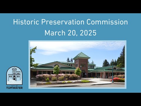
At a March 20, 2025 meeting, commissioners heard a long presentation proposing local signs and wayfinding to mark the College Trail segment of the Oregon Trail in Tumwater and discussed the limits of federal recognition; commissioners approved routine minutes and reappointed the existing chair and vice chair.
Tumwater commissioners on March 20 heard a detailed presentation proposing local signage and wayfinding to mark the College Trail segment of the Oregon Trail through the city, and were told adding the route to the National Historic Trail System would require an act of Congress.
The presentation laid out documentary evidence and modern mapping that traces the College Trail’s approach into Tumwater — including links to the George Bush donation land claim and the Davis Meeker oak tree — and proposed placing interpretive signs at multiple locations such as the city’s southern entrance near historic U.S. 99, both approaches to the Davis Meeker oak, the backside of the Peter G. Schmidt School, near the Bush graves, stretches along Second Avenue by the Michael T. Simmons School, and at Tumwater Falls Park.
The presenter said local signage is actionable without federal approval. “Now is the time for action,” the presenter told the commission, urging the city to produce and place markers that adapt existing artwork into imagery that acknowledges George Bush and the town’s founding story.
Why it matters: commissioners were given mapping evidence from two local surveyors, and the presentation tied public-history goals to routes still visible in modern street alignments. The commission heard that federal listing of the College Trail as part of the Oregon Trail National Historic Trail System would require congressional action, a multiyear process, so local signage would be a practical interim step to raise public awareness.
Supporting details and debate The presentation referenced 19th‑century federal survey plats and the Oregon Donation Land Act (1850) as background for how trails and land claims were documented in the region. Two local mapmakers — Dave Welch (who prepared an auto‑tour map) and Pat Beeler (a former city surveyor) — have produced slightly different alignments for the final approach of the College Trail near the freeway and Falls Park; the presenter said both interpretations are useful for deciding where to locate markers.
The presenter proposed adapting an older city emblem into a new interpretive sign that would depict an African American pioneer to reflect George Bush’s role in local settlement; the presenter noted that George Bush’s race was a reason he and his family settled north of the Willamette Valley in the 1840s and argued that imagery acknowledging that history would be both historically accurate and inclusive.
Practical recommendations included ordering standard metal signs to mount at existing signposts (for example, alongside an existing historic U.S. 99 marker), installing a kiosk or interpretive panel near the 90 Third Avenue/Kipferidge corner, and placing northbound and southbound signs where the historic alignment crosses modern streets. The presenter described this approach as “readily accessible public history” that requires little ongoing staffing.
Speakers who contributed factual context in the discussion included local surveyor Dave Welch, former city surveyor Pat Beeler, and staff member Darlene Camry, who assisted with maps and images; commissioners present acknowledged the slides and asked procedural questions. The presenter said some archival sources and a 19th‑century reminiscence describing an early bridge across the Deschutes River support the proposed termini near Falls Park.
Routine actions taken The commission approved the April 18 minutes as amended and reappointed the existing chair and vice chair by voice vote during the same meeting. Those procedural items were recorded as passed by voice vote; no roll‑call tallies were provided in the transcript.
What did not happen Commissioners did not vote on any funding allocation, contract, or formal adoption of a signage plan during the meeting. The presenter asked the commission to consider ordering signs and identifying placement sites, but no formal motion implementing the signage program was recorded.
Next steps noted The presenter suggested surveying proposed sign locations and bringing a draft sign design and cost estimate to a future meeting; no date was set and staff were asked to provide follow‑up materials.
Ending Commissioners concluded the agenda item after the presentation and moved on to other business; staff and outside volunteers were identified as possible partners to prepare a sign order and a placement plan for a future agenda item.