Get Full Government Meeting Transcripts, Videos, & Alerts Forever!
Get email alerts on the Land Use topic
No spam. Unsubscribe anytime.
Portland council tentatively approves map and zoning change for vacant Fremont corner; final vote set for March 19
Summary
Portland City Council voted to tentatively approve a comprehensive plan map amendment and concurrent zoning change that would re-designate 3508 NE 11th Ave and 1123 NE Fremont St from R5 to CM1; council directed staff to return with revised findings for final ordinance vote on March 19 at 6:15 p.m.
Portland City Council tentatively approved a hearings officer recommendation to amend the comprehensive plan map and the zoning map for properties at 3508 Northeast 11th Avenue and 1123 Northeast Fremont Street, moving the sites from Residential 5,000 (R5) to the Commercial Mixed Use 1 (CM1) base zone.
The change, recommended by the hearings officer and presented to council by Amanda Rhodes, a planner with Portland Permitting and Development, would apply a mixed-use designation to a 5,850-square-foot corner parcel across from Irving Park and inside the Irvington Historic District. Rhodes said the hearings officer found the proposed designation “on balance to equally meet the relevant comprehensive plan goals and policies.”
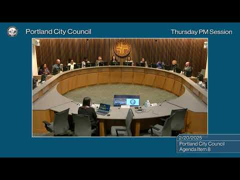
Councilors heard a staff presentation outlining the review criteria and supporting studies, a brief statement from the applicant’s attorney and one signed letter of neighborhood support. After limited council discussion about precedent, potential impacts on height and lot coverage and buffering for adjacent residences, Councilor Carmen Rubio Green (recorded as Councilor Green) moved to tentatively approve the hearings officer’s recommendation; the motion passed by roll call vote with no recorded opposition. Council directed staff to prepare revised findings and ordinances for a final vote on March 19 at 6:15 p.m.
The hearings officer and staff framed the review as a map-only decision: no development permit is before council. Amanda Rhodes explained that comprehensive plan map designations reflect a 20-year horizon while zoning determines what can be built today; approving the map change would allow future development under the CM1 standards but would not itself approve a specific project. Rhodes said the application was evaluated against the city’s comprehensive plan goals and related plans, including the statewide land use planning goals, Metro’s urban growth management functional plan and the Albina community plan.
Staff noted the site is within Portland’s inner ring and close to bus lines; Sabin Neighborhood Association’s Land Use and Transportation Committee submitted a letter supporting “low impact, small scale development that provides services for nearby residences and is compatible with the surrounding area.” Rhodes told council that the hearings officer recommended approval without conditions, finding public services adequate and the CM1 zone appropriate given the site’s location on Fremont and proximity to other CM1-zoned parcels.
Applicant representatives described the proposal as enabling a small commercial node with modest residential units above ground-floor commercial space. Christie White, land use counsel for the applicant, said the site is small, that typical floor-area-ratio (FAR) math for a small parcel would likely yield a two-story, sub-30-foot form and that nearby buildings already include converted commercial storefronts with residential above.
Councilors pressed staff and the applicant on several points: whether the map amendment constituted spot zoning, the likelihood of additional similar requests on adjacent properties, how much additional building coverage and height the CM1 zone would allow, and whether setbacks and landscaping requirements would change. Rhodes and staff said the hearings officer concluded the proposal was not spot zoning under the approval criteria; staff also noted that residential building coverage for this site was calculated at about 41% under current rules and would be about 85% under CM1 for the specific coverage calculation shown in the record. Staff confirmed a height difference from 30 to 35 feet is possible under CM1, but that bonus and FAR calculations for this small site would constrain practical building massing. They also noted CM1 typically requires larger setbacks and landscape buffers from adjacent residential lots (a minimum of about 10 feet) compared with the current 5-foot minimum.
No opponents testified at the council hearing; one nearby neighbor attended the hearings officer hearing and asked questions about height. The record contains a transportation impact study, stormwater report and geotechnical report submitted with the application and reviewed by staff and the hearings officer, per the staff presentation.
Councilor Green moved to tentatively approve the hearings officer’s recommendation; a second was recorded. Keelan (council clerk) called the roll and the motion passed with all votes recorded as aye. Council directed staff and the applicant to return with revised findings and an ordinance for formal readings and a final vote. The council president closed the evidentiary record and set a reconvening for March 19 at 6:15 p.m. for the first of the subsequent short readings and final action on the ordinance.
The decision changes only the map and zoning designations; any future development would require separate permitting and would be subject to development standards of the CM1 base zone and any applicable design review or historic district requirements.