Get Full Government Meeting Transcripts, Videos, & Alerts Forever!
Get email alerts on the Zoning topic
No spam. Unsubscribe anytime.
Council tables Wagon Wheel/Robins rezoning after online packet map error and resident concerns
Summary
A proposed rezoning of land at the northeast corner of Wagon Wheel Road and Robins Road to Thoroughfare Commercial (C5) was tabled to the March 11 council meeting after council members and residents flagged an incorrect map in the online packet and raised concerns about truck traffic and neighborhood impacts.
SPRINGDALE, Ark. — The Springdale City Council on Feb. 25 voted to table a rezoning request for a 3.66-acre tract at the northeast corner of Wagon Wheel Road and Robins Road after council members and residents pointed out a mislabeled map in the online packet and raised traffic and neighborhood concerns.
Planning staff said the packet map posted online displayed the wrong requested zoning (A1 to C2), while the ordinance and mailed notices correctly described the request as a change from General Commercial District C2 to Thoroughfare Commercial District C5. Planning Director Patsy Christie told the council the Planning Commission reviewed the request and recommended approval; the planning commission’s vote on the matter had been 7–2.
“All the notices that were sent to adjacent property owners were correct,” Christie said, noting that the error was limited to the map image posted online.
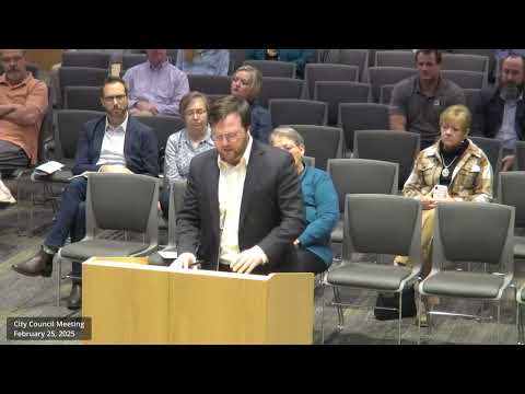
Developer representative Will Kelsstrom, speaking for ICM America, described the proposed operator’s business and said the portion of the operation that requires C5 zoning would be relatively small. “The sole reason that we are asking for a C5 is just because those things do not fit inside,” Kelsstrom said, describing rental steel plates and trench boxes used for infrastructure work. He emphasized screening and code compliance.
Several residents spoke against proceeding without correcting the online materials. Ron (resident) said neighbors worry about the visual and economic impact of outdoor storage and equipment on nearby properties and asked for time to review corrected materials.
Councilman Mark Fugereuse moved to table the ordinance to the March 11, 2025 meeting; the motion carried 8–0.
The council recorded that mailed notices and the official ordinance contained the correct rezoning description; staff said they would correct the online packet and ensure the accurate map is included for the March 11 meeting. No final rezoning vote was taken on Feb. 25.
Ending: The item will return to the March 11 council meeting with corrected maps and any additional information the council requests. The council directed staff to provide corrected packet materials and to notify the public that the item is being re-noticed online with the accurate map.