Get Full Government Meeting Transcripts, Videos, & Alerts Forever!
Get email alerts on the Land And Water topic
No spam. Unsubscribe anytime.
Committee hears DSL pitch to streamline navigability declarations; landowners and Farm Bureau voice concerns
Summary
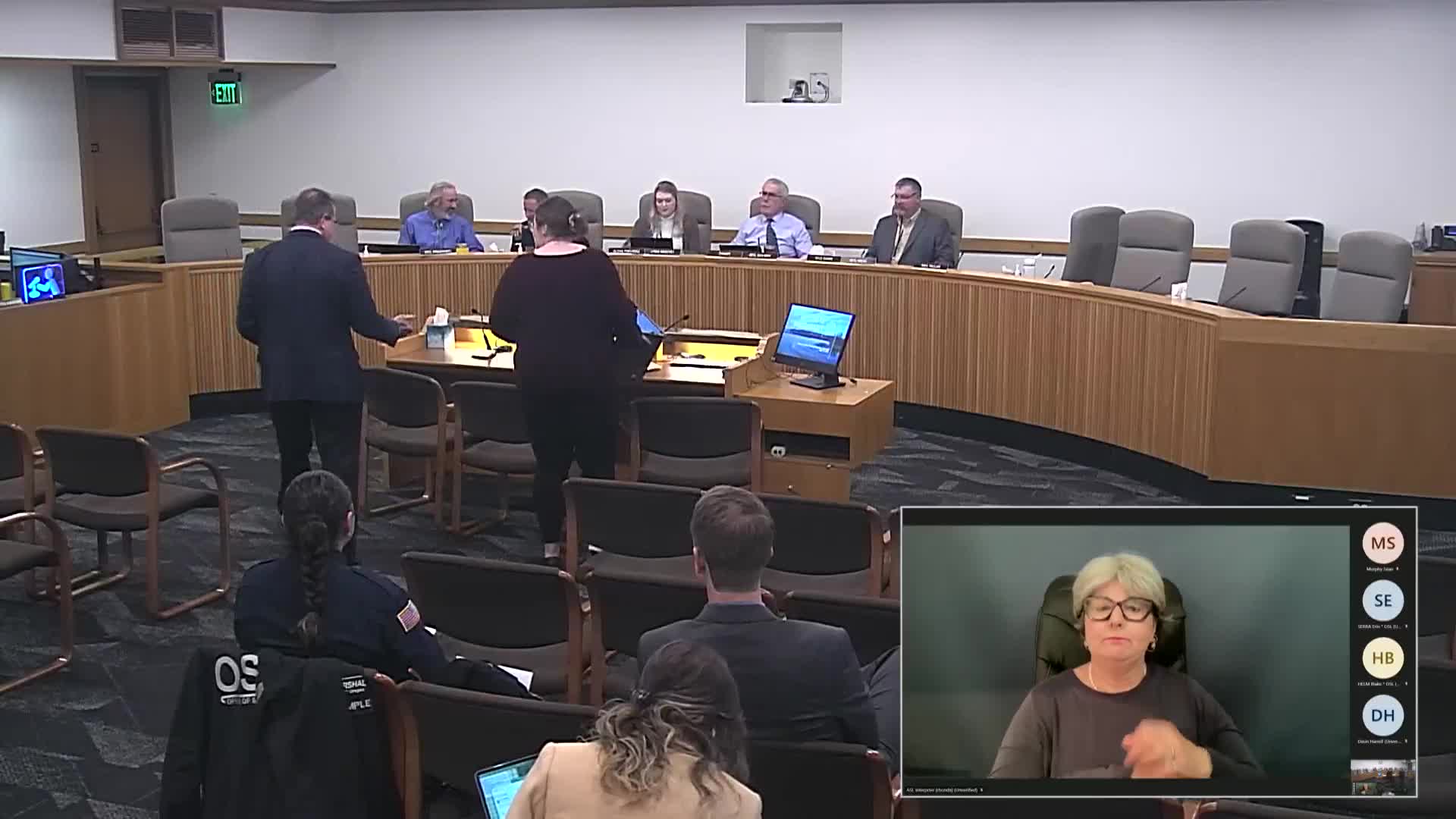
The Senate Committee on Natural Resources and Wildfire opened a public hearing on Senate Bill 74 on March 13, 2025, hearing Department of State Lands staff explain the bill’s purpose and mechanics, followed by testimony from an attorney who represented petitioners in a prior navigability case and from the Oregon Farm Bureau.
The Senate Committee on Natural Resources and Wildfire opened a public hearing on Senate Bill 74 on March 13, 2025, hearing Department of State Lands (DSL) staff explain the bill's purpose and mechanics, followed by testimony from an attorney who represented petitioners in a prior navigability case and from the Oregon Farm Bureau.
DSL deputy Bill Ryan told the committee the bill (as amended in the dash‑2 amendment posted to OLIS) would require DSL to study determinations of navigability and to submit a report to interim natural resources committees by Sept. 15, 2026. The dash‑2 amendment, Ryan said, would allow DSL to determine that the state's interest in a waterway extends to the current submerged and submersible lands and would authorize negotiated deed exchanges that prioritize state ownership of the existing waterway over a strict 1:1 land‑value swap; it would also require the county clerk to record a declaration of state ownership in county deed records.
Ryan outlined how navigability determinations work under federal and state tests. He said navigability declarations must consider whether a waterway "was used or was susceptible to use" for trade and travel at statehood in 1859 and that property boundaries today are typically set at the ordinary high‑water line. DSL staff emphasized the technical difficulty of tracing accretion (gradual change) versus avulsion (sudden change) over the 165 years since statehood; mapping that history is costly and time consuming and can leave adjacent landowners with long periods of uncertainty about title.
What the bill would change: DSL said SB 74 would add a statutory option allowing the land board and department to claim ownership at the current ordinary high water line — a faster, less costly pathway — if affected landowners accept that contemporary boundary. Ryan emphasized that the existing, more detailed historical mapping and analysis would remain an option when landowners object.
Concerns from property owners and their attorney: Jenny Bricker, an attorney who represented petitioners in Hardy v. Land Board (the contested navigability declaration for about an 89‑mile Rogue River reach), urged caution. Bricker said the Hardy litigation (begun in 2008 and decided by the Court of Appeals in 2015) showed how the state's prior declaration failed to meet statutory standards requiring property claims be "identifiable in a manner intelligible to the layperson." She asked that the bill not be applied retroactively to waterways already litigated, urged mandatory direct notice and meaningful negotiations with landowners and suggested clarifying that the bill's focus is rivers (not lakes) because statutory terms such as accretion and avulsion are river concepts.
Oregon Farm Bureau: Ryan Kraybill, representing the Oregon Farm Bureau, said the original parallel study bill was neutral but that the dash‑2 amendment "dramatically expand[ed] state authority over submerged lands," raising concerns about property rights, agricultural water uses, the ambulatory nature of boundary declarations if rivers move, and inequitable land exchange provisions. He urged further conversation with DSL staff.
Committee questions and process notes: Senators asked whether the navigability test considers type and size of historical watercraft; DSL staff said the federal test includes whether the waterway "was used or was susceptible to use" for commerce and that historians, hydrologists, aerial photos and old surveys are used in the analysis. The department said the land board would continue to notify adjacent landowners as part of the navigability study process and that disputes could proceed to court if unresolved. DSL said it currently has a backlog of roughly a dozen requests for studies and that the last large navigability work was on the Rogue River about 20 years ago.
No committee action was taken on SB 74 at the hearing stage. Committee members and agency staff indicated they would continue drafting and negotiating amendment language; DSL said it expects to post further changes to the amendment language and invited landowner counsel and stakeholders to continue discussions.
Because the bill primarily addresses title mapping and administrative process, DSL and commenters discussed the interplay of property law and administrative procedure; attorney Bricker noted ORS 274.440 (statute governing lakes and related rules referenced in testimony) and recommended statutory clarifications to avoid overlap and confusion with lake statutes.
The committee closed the public hearing and moved to work session business. No formal vote on SB 74 occurred at the March 13 hearing.