Get Full Government Meeting Transcripts, Videos, & Alerts Forever!
Get email alerts on the Severe Weather Preparedness topic
No spam. Unsubscribe anytime.
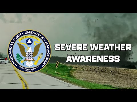
Delaware County officials mark tornado anniversary, urge preparedness during Severe Weather Awareness Week
Summary
Delaware County emergency officials marked the first anniversary of a damaging tornado near Selma and used Severe Weather Awareness Week to brief residents on differences between watches and warnings, siren limitations, NOAA weather radios, Nixle alerts and safety steps for sheltering and post-storm response.
Delaware County emergency officials marked the first anniversary of a damaging tornado near Selma and used presentations during Severe Weather Awareness Week to urge residents to review plans, heed watches and warnings, and sign up for county alerts.
John Catino, director of the Delaware County Homeland Security and Emergency Management Agency, opened the briefing by noting last year’s tornado that affected Selma and nearby communities and by reviewing watch and warning definitions from the National Weather Service. “A severe thunderstorm watch means you should be prepared, as severe thunderstorms are possible in and near the watch area,” Catino said, adding that a severe thunderstorm warning is issued when severe weather has been reported by trained spotters, law enforcement, or radar. “A tornado warning means a tornado has been sighted or indicated by weather radar. There is imminent danger to life and property.”
The presentation stressed practical steps residents should take during each stage: treat a watch as a prompt to have a plan and be ready to act, and treat a warning as a signal to take shelter immediately. Catino advised moving to an interior room on the lowest floor of a substantial building and avoiding windows; he specifically warned people in mobile homes to seek more substantial shelter because mobile homes “can blow over in high winds.”
Corey Kissick, deputy director of emergency management, emphasized the limits of the county’s outdoor warning sirens and recommended alternate alerting devices for indoor notification. “The primary purpose of these outdoor warning sirens is to alert those who are outside. However, it is critical to understand that the system is not designed for indoor notifications,” Kissick said. He noted the county tests its outdoor warning sirens every Friday at 11:00 a.m. but that testing may be postponed during severe weather. Kissick also encouraged residents to buy a NOAA weather radio and to sign up for Delaware County’s Nixle alerting system, saying, “We only send out notifications for severe situations like tornado warnings.” He provided the county’s Nixle signup method: text your ZIP code to 888777 or visit nixle.com.
Kyle Johnson, Delaware County chief information officer and Emergency Management Logistics Section chief, reviewed post-storm safety and recovery steps. He urged people to avoid unnecessary travel and to stay clear of storm-damaged areas so emergency services and utilities can work. Johnson advised residents to check on neighbors, especially the elderly, to report downed power lines to local authorities, and to watch for insurance scammers in the days following a storm.
Ryan Steinke, an intern studying meteorology and climatology at Ball State University working with the county’s Office of Information and GIS Services, gave guidance for motorists during tornado warnings. “First, never stop under an overpass,” Steinke said, adding that if drivers cannot reach a substantial shelter they should pull over, stay in their seat belts, get low in the car and cover their heads.
Officials closed by reiterating that preparedness actions — having a plan, a NOAA weather radio or reliable alert app, and knowing the difference between a watch and a warning — reduce risk during severe weather. County staff repeated the recommendation to sign up for Nixle alerts and to tune to local media or NOAA radio for updates when threats are imminent.