Get Full Government Meeting Transcripts, Videos, & Alerts Forever!
Get email alerts on the Economic Development topic
No spam. Unsubscribe anytime.
Powhatan work group refines economic-priority parcel map, debates limits on light-industrial uses
Summary
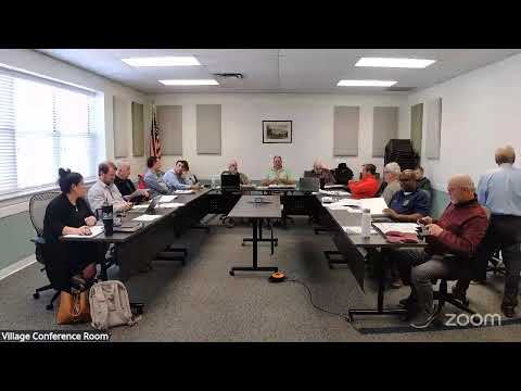
At its March 4, 2025 meeting the Powhatan County Citizen Work Group reviewed proposed edits to the comprehensive plan’s economic development chapter, added several tax parcels to the county’s economic-priority (EP) map, and debated which light-industrial and Commerce Center uses should be allowed by right versus by conditional use permit.
Powhatan County’s Citizen Work Group on March 4 discussed revisions to the comprehensive plan’s economic development chapter, agreed to add several parcels to the county’s economic-priority (EP) map and debated whether certain light-industrial uses — such as shooting ranges, outdoor vehicle storage and towing/repair services — should remain permitted by right or be moved to conditional review in higher-priority areas.
The work group said staff reorganized objectives in the draft chapter to align with the county board’s strategic plan and economic-development work, restored a short agriculture and heritage section that had been dropped in a prior update, and updated institutional references (for example, noting John Tyler Community College appears in the draft and should read Brightpoint Community College).
Planning staff Roxanne said she “updated the section on broadband to kind of where we’re currently at” and reorganized objectives to emphasize the county’s strategic priorities. The group agreed to add several tax parcels to the EP map; participants named tax map parcels including 427 and 4027 (recently rezoned) and asked staff to correct one parcel that had been mistakenly included (parcel 40‑4).
Group members debated where to treat specific uses in zoning: whether to allow indoor and/or outdoor shooting ranges, outdoor long‑term vehicle storage (boats/RV/vehicle storage) and automotive sales and repair as by-right in Commerce Center (CC) or Light Industrial (I‑1) districts, or instead require conditional use permits (CUP) for EP parcels. Several members recommended keeping potentially contentious or high‑impact uses — for example, outdoor shooting ranges and towing services with on‑site vehicle storage — subject to CUP review when proposed for EP parcels, while allowing cleaner, employment‑focused uses by right.
On the EP map itself, staff showed updated GIS layers and described adding recent rezoned parcels to the EP layer to keep the map’s total assessed-value share above the plan’s target (the group noted the working goal of roughly 15% of assessed value identified earlier in the process). Staff said the EP total dropped after removing two parcels but remained above the 15% target once the intended parcels were included.
Participants also discussed how the county might coordinate with the Economic Development Authority (EDA) to create a concise targeted list of preferred EP uses tied to incentives, rather than relying on a long, permissive list. "Why would it not be strategy E2 for the EDA to establish the list of 'want' uses that are appropriate for EP?" one member asked, arguing incentives could be tied to preferred uses. Another member emphasized the importance of matching the list to the pending economic development plan before finalizing the EP permitted‑use table.
Members asked staff to prepare clearer performance measures for the broadband objective (for example, a map or percent‑covered metric showing how much of the county Fireflies Broadband has actually connected), and to strike clerical references (such as updating John Tyler Community College to Brightpoint Community College) in the draft text.
The work group did not adopt ordinance language at the meeting; it gave staff direction to: refine the EP parcel map (add the cited parcels, remove the erroneously included parcel), compare neighboring localities’ zoning treatments for shooting ranges and similar uses, and work with the EDA on a shorter list of target EP uses and related incentive ideas. Staff said it will return with updated maps and a proposed use table.
Ending: The group left the economic development chapter as a priority for the next meeting and asked staff to bring a corrected EP map and a short list of suggested CUP‑vs‑by‑right decisions for discussion. Several members recommended waiting for the EDA’s economic development plan to be further along before finalizing the EP allowed‑use list.