Get Full Government Meeting Transcripts, Videos, & Alerts Forever!
Get email alerts on the Resilience topic
No spam. Unsubscribe anytime.
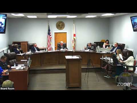
Consultants present Jackson County vulnerability assessment; DEP review pending and adaptation funding options noted
Summary
Consultants presented a Department of Environmental Protection-funded vulnerability assessment for Jackson County, describing flood-exposure modeling for 2040 and 2070, critical-asset overlays, prioritized focus areas and potential eligibility for Resilient Florida implementation funding.
Consultants presented the finalized vulnerability assessment for Jackson County, funded by the Florida Department of Environmental Protection (DEP). The study — which the presenters said they submitted to DEP for final review — maps flood exposure under current conditions and modeled scenarios for 2040 and 2070, overlays critical assets, and identifies county focus areas for adaptation and mitigation.
Scope and methodology
Hannah Hart (presenter) said the project was fully funded by DEP with no local match required. Consultants gathered critical-asset data through community meetings, field surveys to selected assets, and collaboration with local staff. Flood scenarios modeled included the 1% (formerly called 100-year) and 0.2% (formerly 500-year) events under current and projected future conditions (years 2040 and 2070). The consultants also examined how extreme rainfall patterns may intensify under certain climate models.
Key findings
- Flood exposure mapping: Raster flood-exposure layers show which assets are at risk under the modeled events; consultants cautioned against relying on “100-year/500-year” labels and instead noted changing frequency and intensity of extreme rainfall events. - Asset vulnerability: The assessment classified vulnerabilities across four asset classes — community and emergency assets, critical infrastructure, natural/cultural/historic assets, and linear transportation assets. For roads, the team segmented linear assets into 1,000-foot pieces to prioritize vulnerable segments. - Focus areas: The consultants worked with each commissioner and county staff to identify focus areas — locations combining high vulnerability and local priority for mitigation or adaptation work.
Implementation and funding
The presenters outlined next steps: align county local mitigation strategy (the FEMA planning document) with the vulnerability assessment, pursue adaptation planning funding through the Resilient Florida implementation grant program, and use the assessment to increase competitiveness for federal and state grants. Hart said the county had applied for additional adaptation and updated-assessment funding and that the county had been awarded that funding in December; she said completing the current study would make the county eligible for Resilient Florida implementation grants in the next funding round.
Report delivery and availability
Consultants reported they submitted the final report to DEP and expected DEP sign-off within about two weeks. The finalized, professionally bound report and database will be provided to county staff and stakeholders; consultants said they will make GIS products and data available electronically.
Commissioner concerns and follow-up
Commissioners sought clarity on methods, whether staff visited project sites (consultants said they relied on local expertise and targeted field surveys for key assets), and how the assessment aligns with other work such as Dewberry’s vulnerability assessment and DOT projects. Consultants said they coordinated with ARPC and other stakeholders and will continue to share data to align resilience and transportation priorities.
Why it matters
County staff and commissioners said the assessment will support grant applications, inform capital and resilience planning, and potentially help lower flood-insurance costs via community-rating-system improvements. The assessment identifies vulnerable assets and provides the technical basis for adaptation planning and prioritized capital projects.