Get Full Government Meeting Transcripts, Videos, & Alerts Forever!
Get email alerts on the Trails Pedestrian Safety topic
No spam. Unsubscribe anytime.
South Russell Council hears public proposals for village trail network funded in part by NOACA grant
Summary
At a March special meeting, South Russell Village officials heard residents’ route and design proposals for a proposed trail network; officials said a NOACA grant of $800,000 is available, Verdantas and landscape architect Rich Washington were engaged, and state design rules and easements will shape the project.
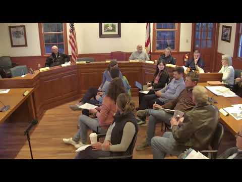
South Russell Village Council held a special meeting in March to hear public proposals for a planned trail network and master plan funded in part by a grant from the Northeast Ohio Areawide Coordinating Agency (NOACA).
Residents outlined possible routes linking South Russell Park, Bell Road, Gurney, Sunridge and neighborhoods such as Rolling Ridge, Sugar Land Lakes and Fox Run, and suggested materials and design details. Mayor (unnamed) said the village received $800,000 from NOACA "to get people off the roads," and also referenced $1,200,000 in funding discussed separately in the meeting record.
The council has paid consultant Verdantas $15,000 to develop a master plan, and landscape architect Rich Washington, identified at the meeting as working for Renatus, will help translate public input into designs. Carrie Schloss, one of the trail committee leaders, said the project team had received broad input: "we had 373 responses," she told the council.
Why it matters: residents said the network would enable more walking and biking to schools, parks and businesses, reduce risky travel on Bell Road and connect South Russell to neighboring Chagrin Falls. Parents and runners described Bell Road as unsafe for children and year-round exercise without an off-road alternative.
What residents proposed: speakers repeatedly urged a continuous connection along Bell Road from the village park east toward Sunridge and, where possible, to Route 306 and Chagrin Falls. Specific ideas included: - A multiuse path on Bell Road linking Gurney, South Russell Park and the neighborhoods east to Sunridge and beyond. - An east–west connection on East Washington from the park toward sidewalks in Chagrin Falls to serve Saint Joan of Arc School and local businesses (Amanda Bencic said she would like to "walk into school" with her kindergartner). - Short connector paths such as from Fox Run to the Gurney sidewalk, and a bridge or crossing where needed to avoid Bell Road traffic. - A trail through or alongside the village park to tie multiple neighborhoods together, with some residents favoring a softer, gravel surface in parkland and asphalt on roadside segments for durability and accessibility.
Design, permitting and cost constraints: Washington explained state and construction constraints the village must consider if it uses the NOACA funds. He said the Ohio Department of Transportation (ODOT) guidance used for funding-eligible roadside trails has an 11-foot width requirement for a multiuse pedestrian-bike trail: "I think they've actually bumped it up to 11 feet wide for a multi mobile, you know, pedestrian bike access trail." He also warned that intersections, guardrails, wetlands, utilities and required permitting can affect alignment, add costs and lengthen the schedule. Washington said permitting for wetlands or environmental review "could be a few months to 6 months to a year depending on how much wetlands or other environmental conditions are in those areas."
Several speakers raised questions about easements and who would bear construction or maintenance costs. A village official noted that Ohio law can require property owners to pay for sidewalk installation in front of their property; the meeting record cautioned that funding and assessment rules will affect route choices and homeowner impacts. Residents also asked who would maintain the trail long-term and whether the village would clear it in winter.
Next steps: meeting organizers said the council plans to present survey results and committee recommendations to the full council at a public meeting on March 24 at 7 p.m. Rich Washington and committee members will review the ideas and develop options for the council. The village emphasized it will collect route proposals and consider easements, permitting, materials and maintenance before selecting a preferred alignment.
Votes at a glance: the meeting ended with a motion to adjourn that the council approved by voice vote. The council did not take any other formal votes on trail alignments or contracts during this session.