Get Full Government Meeting Transcripts, Videos, & Alerts Forever!
Get email alerts on the Conservation Wetlands topic
No spam. Unsubscribe anytime.
Commissioners delay adoption of conservation and open‑space amendment after questions about wetland maps and park acreages
Summary
Martin County commissioners continued consideration of IR Amendment 24‑09 after staff and commissioners debated how wetlands are identified, discrepancies in park acreage figures and whether composite digital maps should replace field delineations. The board voted to continue the item to March 25.
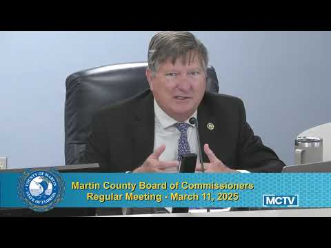
Martin County commissioners on March 11 delayed action on IR Amendment 24‑09, a proposed update to the conservation and open‑space chapter, after detailed questioning about park acreage figures and how wetlands will be identified.
The item drew extended staff explanations about the county’s proposed removal of a single, static wetland map and replacement with a “wetland composite” assembled from newer data layers such as updated National Wetlands Inventory (NWI) layers, digital elevation models and recent aerial imagery. "This wetland composite map is just a map of probability areas that have the potential to have wetlands," said Daryl DeLu, Environmental Planning Administrator. "We're trying to move away from that, but still keep some of the factors that we use when we're evaluating properties in the office."
Why it matters: The amendment would change how the county represents and references wetlands in its comprehensive plan. Commissioners pressed staff on whether the new approach could mislead property owners who see a composite map and treat probable areas as regulatory boundaries. Several commissioners also flagged apparent errors in the draft appendix that lists publicly owned parks and resource‑based parks, saying acreage figures for multiple parks appeared incorrect.
Staff described the practical process for determining jurisdictional wetlands under Florida law. Clyde Doolin, representing Growth Management staff, and DeLu told the board that wetland boundaries are ultimately set by field delineations performed or confirmed by state agencies—principally the Department of Environmental Protection (DEP) or the South Florida Water Management District—and that consultants’ flagged lines are confirmed or adjusted by the state. "That doesn't get locked in until the state goes out and confirms the line," DeLu said. "Sometimes they adjust the line, and then they'll issue some type of authorization, non‑binding or binding jurisdictional determination to establish where that line is on the property."
Public comment and other concerns: Resident Carol Ann Leonard told the board she was worried that developers select the environmental consultants who perform initial delineations and urged the county to continue protecting wetlands. "I'm a little concerned about them picking the consultant," Leonard said. Members of the public also asked whether wetlands can connect underground; staff confirmed hydrologic connections and noted the county already requires wider buffers where wetlands are connected to shorelines.
Board action and next steps: Commissioner Campi moved to continue the item to March 25; the motion passed 4‑1 with Commissioner Heard recorded in opposition. The board asked staff to review the park acreage entries and to return revised figures and language on March 25.
Staff and legal references provided during the discussion included Florida statutes and the state’s Unified Wetlands Delineation Methodology; the draft amendment also removed a county prohibited plant list because of state preemption. The amendment as drafted does not replace the requirement for field delineation by the DEP or water management district and retains clarification language about limited exceptions that allow wetland impacts in narrowly defined circumstances (bridges, utilities, preclusion of reasonable use).