Get Full Government Meeting Transcripts, Videos, & Alerts Forever!
Get email alerts on the Land Use Planning topic
No spam. Unsubscribe anytime.
Lake County approves Wolf Branch PUDs with added infrastructure and drainage conditions
Summary
The Board of County Commissioners approved two planned unit development (PUD) land‑use and rezoning ordinances for the Wolf Branch Innovation District (north and south parcels), adding requirements that phase‑one connector road construction and utility stub‑outs be completed as part of initial infrastructure work; the vote was 4–1.
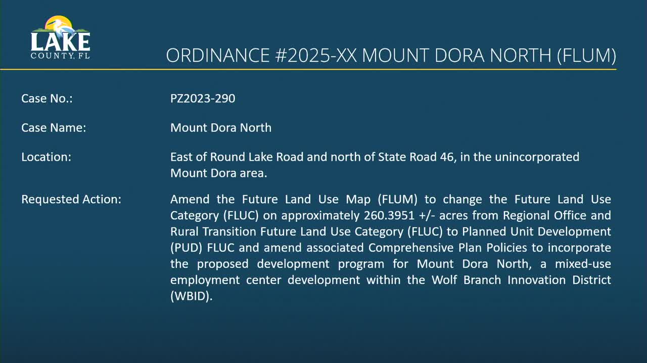
Lake County commissioners on March 4 approved companion future‑land‑use and rezoning ordinances for the Wolf Branch Innovation District, clearing the way for two large planned unit developments that together cover roughly 600 acres and are designed to create mixed residential neighborhoods and employment centers in the Mount Dora joint planning area.
The board’s action added language requiring construction of a 70‑foot connector road in phase one on the north site and utility stub‑outs along the East‑West Connector Road on the south site; commissioners also directed follow‑up coordination meetings with nearby property owners on drainage and floodplain concerns. The motion passed 4–1.
Why it matters: County staff and the applicant said the projects are intended to attract job‑generating businesses and provide housing to support a growing workforce. County economic development staff said having shovel‑ready employment sites is key to drawing high‑wage employers. Opponents and nearby residents urged stronger environmental protections and questioned stormwater and floodplain impacts during heavy storms.
County staff described the approvals as amendments to Lake County’s comprehensive plan and zoning map to allow mixed‑use, employment‑focused development within the Wolf Branch Innovation District and consistent with Wekiva study‑area policies. For the north tract, staff and the applicant described a mix of commercial, office and residential uses and about 35% open space; for the south tract, presenters showed a commerce park intended to accommodate flexible industrial, research and development, and other job‑creating uses while locating residential parcels on the east side of County Road 453.
Economic development director Meg Brew said the district is designed to “create significant economic development opportunities in Northeast Lake County as a mixed employment center focused on education, innovation, research, and development, as well as high‑tech industry clusters within a creative village atmosphere.” She told commissioners the plan aims to retain younger workers and diversify the county’s industry base.
Applicant representatives presented a master plan showing a village center along State Road 46, a network of trails, 35% open space to meet Wekiva policies, and internal roadway cross sections. The applicant said the combined program includes several million square feet of nonresidential space (presentations cited figures in the low‑single‑digit millions for the north and about 10.3–10.4 million square feet on the south) and thousands of dwelling units across both sites. The applicant also said voluntary early investments — mass grading, utility stub outs and a planned East‑West Connector Road — are part of the developer’s strategy to make the commerce park market ready.
Engineers presented a stormwater and flood modeling assessment for the Lake Amos basin after hurricane‑scale runoff. Lance Bennett of Poulos & Bennett summarized a simulation of the historic event and said the lake and basin “acted precisely as we would expect it to act and behave,” and that the project’s design seeks to avoid impacts to the hundred‑year floodplain and to compensate for any required cut‑for‑cut storage loss.
Residents and environmental commenters pressed for additional protections. Cindy Newton, a District 4 resident, told commissioners the area mapped for development includes high‑recharge soils and spring shed areas and warned that county minimum flows are not being met: “We’re not meeting our minimum flow, water levels to keep our lakes and rivers healthy,” she said, urging greater protection of recharge and unique farmland soils.
Commissioners asked detailed questions about phasing, infrastructure timing, transportation connections and school concurrency. Commissioner Barks pressed the applicant on sequencing of employment uses versus housing; the applicant replied that market timing is uncertain but that the developer is making front‑end infrastructure investments to accelerate nonresidential development. Commissioners also asked about Round Lake Road widening and off‑site traffic mitigation; staff pointed to required right‑of‑way dedications and conditions in the ordinances for traffic improvements, and the PUDs include language that a traffic signal or roundabout may be required at certain internal intersections if warranted.
Board action and follow-up: The board voted to approve the four related ordinances (tabs 5–8) on a combined motion and added two mandatory infrastructure clarifications — construction of the 70‑foot connector road in phase one on the north site and utility stub‑outs along the East‑West Connector Road on the south site. Commissioners also directed staff and the applicant to hold meetings with directly adjacent property owners to share drainage reports and to discuss potential mitigation measures for Lake Amos and nearby flowways.
Votes at a glance
- Motion to approve Tabs 5–8 (Mount Dora North and Mount Dora South PUD future‑land‑use and rezoning ordinances), with additional language requiring phase‑one construction of the 70‑foot connector road (north) and utility stub‑outs along the East‑West Connector Road (south): approved, 4–1. (Motion text as recorded; mover/second not specified in the record.)
What’s next: County staff said the approved transmittals and ordinances will be finalized for implementation and that school concurrency, site‑level permitting, and any outstanding state review comments must be addressed during project permitting. County staff also said the water supply facilities work plan (Tab 2) was transmitted to the state for review and will return to the board for adoption after state comments.
The board and applicant agreed to schedule follow‑up community meetings that will include the developer, county planning and engineering staff and affected landowners to review drainage reports and to discuss design details for buffers and open‑space treatments.