Lake County officials review 3‑D Wolf Branch Sink model and raise monitoring questions
Loading...
Summary
County staff presented a 3‑D visualization of the Wolf Branch Sink and trustees discussed potential contamination risks, the site’s direct connection to the aquifer and next steps for monitoring and study; no formal action was taken.
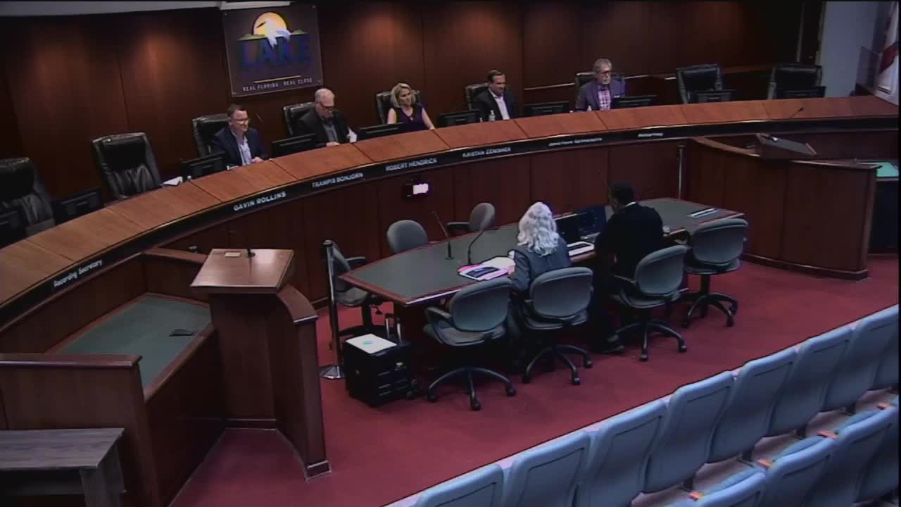
A high‑resolution three‑dimensional visualization of the Wolf Branch Sink in the Mount Dora area was shown to trustees at the Lake County Water Authority meeting on Feb. 26, 2025, prompting discussion about the site’s unique karst hydrology and the need for further study and monitoring.
The video and accompanying material, prepared from a U.S. Geological Survey digital elevation model, illustrated the sinkhole’s surface and subterranean connections, including the 4.94 square‑mile Wolf Branch drainage area and the sink’s direct recharge to the Upper Floridan aquifer. Justin Elkins, associate director of water resources, said the materials and related letters to state regulators are in the trustees’ meeting package. “All that’s gonna be obviously looked into when we do the study,” Elkins said.
Why it matters: trustees and staff said Wolf Branch’s direct hydraulic connection to the aquifer raises contaminant‑transport concerns because the sink can route surface water quickly into drinking‑water yielding limestone. Minutes and the USGS report cited in the presentation note the basin’s karst morphology and the potential for rapid recharge to the Floridan aquifer system.
Trustees discussed the site’s adjacency to a construction and demolition debris landfill on the sink’s west side and historical excavation and dumping in the sink throat. One trustee said previous field visits produced concerns that dumpsters and other materials had been stored in or near the sink. Elkins noted that current topographic mapping does not reflect recent excavation at the site and that new, updated mapping and monitoring wells are among follow‑up tasks: “None of it shows that newer topography where they’ve actually excavated that cell,” he said.
Discussion highlights included the location of monitoring wells, who selects those locations, and whether wells placed by the consultant would produce favorable results. A trustee asked whether the county should perform more of its own hydrologic studies rather than rely solely on state data. “If this is only one in the state of Florida, it’s in Lake County, which leads me to believe there’s other places within Lake County to have these features,” a trustee said.
No formal vote was taken on the item. Staff and trustees indicated the matter remains in the information and study phase; Elkins said staff will pursue the consultant’s recommendations on well siting and incorporate results into a study.
Next steps noted at the meeting include updating topographic data, coordinating monitoring‑well placement, and reviewing test results already collected by county staff and outside firms.