Get Full Government Meeting Transcripts, Videos, & Alerts Forever!
Get email alerts on the Drainage And Plats topic
No spam. Unsubscribe anytime.
Committee backs bill to standardize use of local NOAA/FEMA data and set timing for plat review, 8-0
Summary
A bill requiring use of the most current, closest NOAA rainfall data and FEMA 100-year flood maps when evaluating plats and setting targeted review timelines for planning commissions was approved 8-0 in committee after a clarifying amendment.
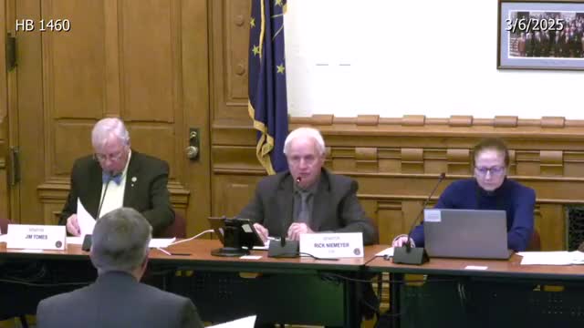
The Senate Local Government Committee unanimously approved (8-0) a bill that would require use of the most current and geographically closest National Oceanic and Atmospheric Administration (NOAA) rainfall data and FEMA 100-year flood-plain maps when jurisdictions evaluate plats and development plans. The committee also approved an amendment narrowing the nearest-data requirement and added specific timelines for local review.
Representative Pressell, the bill sponsor, described three key components: require the closest relevant NOAA rainfall data when designing drainage; require use of the FEMA 100-year flood-plain map for related elevation and floodplain determinations; and set explicit procedural timelines for local review of plats. Under the bill as amended, staff must return written comments within 15 days of an application being presented; the applicant and planning commission or plat committee must meet within 30 days of a completed application; and a planning commission has 60 days to approve or reject a plat, after which the plat may be deemed approved if no action is taken.
Senator Yoder asked whether the statute would restrict local jurisdictions from using other local data sources. Representative Pressell and supporters said the intent is to standardize use of consistent, proximate NOAA and FEMA data so engineers and officials use the most relevant gauges and flood maps rather than distant monitors that can over- or under-estimate local rainfall. Builders' representatives, including Rick Watts of the Indiana Home Builders Association, supported the bill, saying some communities require over-engineering based on rainfall monitors far from a project site.
Supporters said the 60-day backstop would speed routine, ministerial plat approvals and reduce delay for developers when staff input is complete. Critics worried the bill could constrain local officials who incorporate multiple data sources — for example newer LIDAR-based maps or regional 500-year flood data — into their engineering judgments.
After discussion and the amendment, the committee voted 8–0 to advance the bill.