Get Full Government Meeting Transcripts, Videos, & Alerts Forever!
Get email alerts on the Urban Growth Boundary topic
No spam. Unsubscribe anytime.
Bradley County committee preliminarily agrees to redraw urban growth boundary along Withrow Road; revised map to return to public hearing
Summary
A Bradley County planning committee noted a request to move the proposed urban growth boundary to follow Withrow Road near the landfill, agreed to ask staff for a revised map and to bring that map back at the next public hearing before forwarding to municipal and county bodies for final consideration.
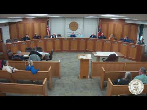
The Bradley County Comprehensive Growth Plan Committee on an early February public hearing preliminarily accepted a request to adjust the county's proposed urban growth boundary so the line follows Withrow Road near the landfill, and directed planning staff to prepare a revised map for the committee's next public hearing.
Committee chair Adam Lewis opened the hearing and acknowledged a request from Commissioner Cindy Slater on behalf of Dr. Linda Cash to modify the south-southwest portion of the proposed boundary so it follows Withrow Road down to the intersection with Nature Trail, which leads toward the landfill.
Why it matters: The committee is preparing a map that will guide where the county expects residential and nonresidential growth for the next planning period. Tom Scribe, a committee member who said he previously served on the county commission, told the group the panel must align the map with the statutory 20-year planning requirement and the county's obligations when annexations occur.
"I welcome carefully planned development that is done right and proper that adheres to the law," Scribe said, adding that interlocal agreements are necessary whenever annexation affects emergency services or primary access roads.
During the discussion Scribe cited state law and urged clarity about how many years of growth the submitted plan is intended to accommodate; he specifically referenced the need for interlocal agreements and for plans covering emergency services and county road maintenance under Tennessee Code Annotated 5-1-113. Scribe warned that annexing 'islands' of territory without assuming responsibility for primary access routes can create funding gaps for fire protection.
Planning staff member Robert (last name not provided) told the committee staff would prepare a revised map showing how received comments would affect the boundary for discussion at the next meeting. "We will bring probably a map that shows the comments that we've received, and how they impact it," Robert said.
A member of the public, Matt, said he would take a clearer version of the map back to the McDonald and Black Fox communities. "Maybe something that I could take back to the McDonald and Black Fox communities just to thank you," he said; staff noted an interactive version of the map is available on the county website for street-level detail.
Committee members and staff agreed to recess for five minutes during the hearing to allow staff to review comments; after the recess the committee directed staff to return with a revised 'version 5' of the map reflecting the Withrow Road modification for the committee's next public hearing. The committee also agreed that, after the next hearing, the map would be forwarded to the City of Cleveland, the Bradley County Commission and the City of Charleston for their consideration and any required actions.
Key scheduling dates mentioned during the meeting were: the City of Cleveland meeting on March 24, Bradley County Commission on April 7, and the City of Charleston on April 8; the committee said it is preparing to have the discussion and a vote at its next public hearing the following Thursday at 6:00 p.m.
No formal ordinance or boundary adoption vote occurred at this meeting. The committee recorded its approval of the meeting minutes and moved to adjourn at the close of the item; those procedural votes passed by voice without named tallies.
The record shows the committee focused discussion on the map boundary, statutory service obligations tied to annexation, and logistics for producing a revised, street-level map for public review. Staff will present the revised map at the committee's next public hearing for additional public comment and a committee vote before sending the proposal to the municipal and county legislative bodies named above.