Get Full Government Meeting Transcripts, Videos, & Alerts Forever!
Get email alerts on the Groundwater Mosier Dalles 15mile topic
No spam. Unsubscribe anytime.
Wasco watermaster outlines groundwater concerns in Mosier, The Dalles and 15‑Mile basin; county study planned
Summary
Oregon Water Resources staff described multi-year groundwater declines in the Mosier (7‑Mile Hill), The Dalles critical area and parts of the 15‑Mile/8‑Mile basins and said the agency will scope a groundwater-surface-water study this summer.
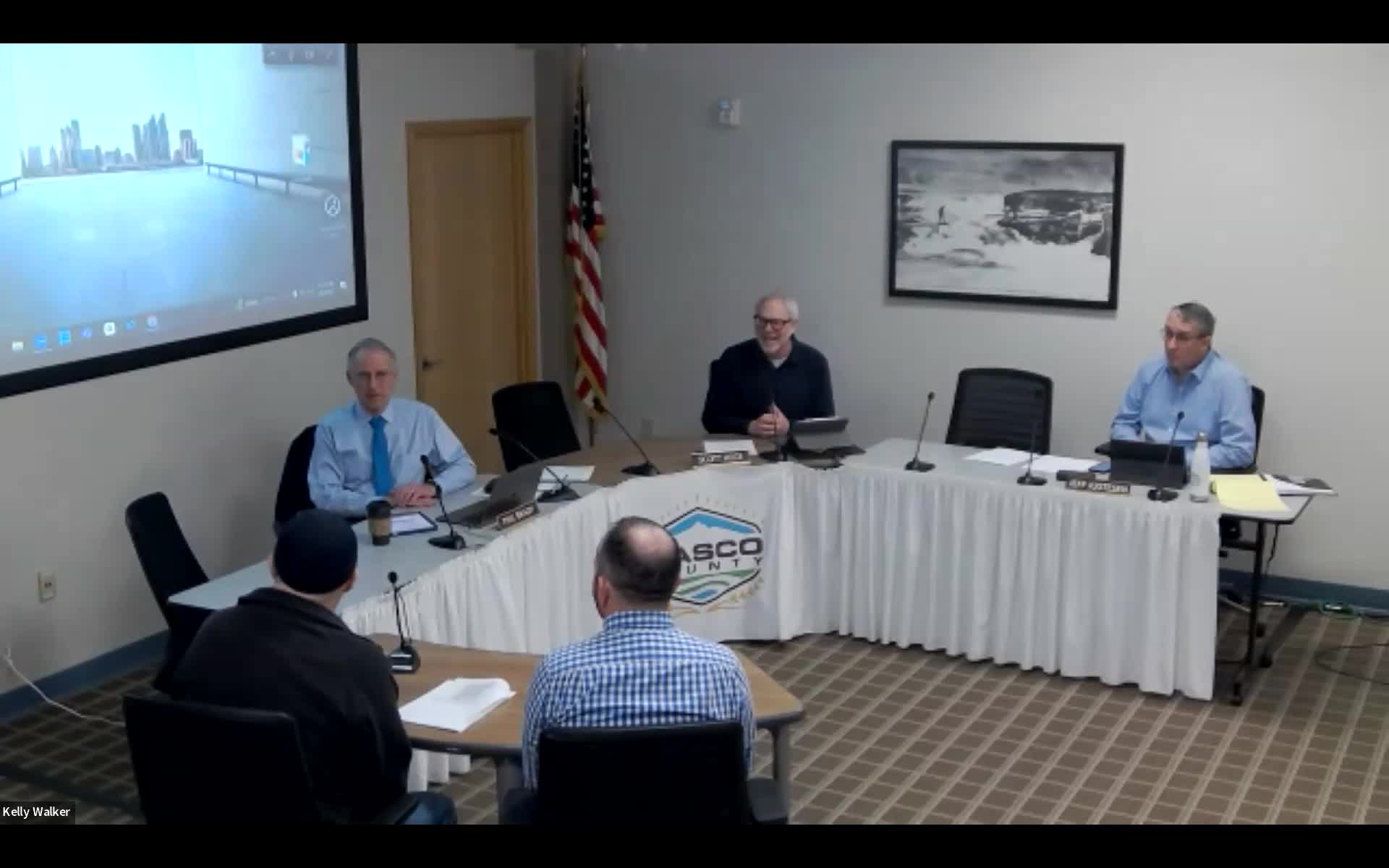
The district watermaster for the Oregon Water Resources Department told Wasco County commissioners March 5 that multiple parts of the county show long-term groundwater declines and that the department will scope a coordinated groundwater and surface-water study this year.
Bob (Robert) Wood, the district 3 watermaster, outlined three priority areas: the Mosier/7‑Mile Hill groundwater withdrawal area, the Columbia River basalts under The Dalles (the “Dalles Pool” and the perched Three‑Mile aquifer), and the 15‑Mile/8‑Mile basins. He said historical studies and data collection show declines associated with irrigation pumping and with well construction problems — particularly “commingling” wells drilled into multiple basalt aquifers that allow flow between layers and change pressure regimes.
Mosier: Wood described Mosier as a long‑standing concern. The Pomona and Priest Rapids basalt aquifers in the Mosier withdrawal area have been closed to new appropriations since 1988, he said, and Frenchman Springs aquifer development has been restricted since about 2005. He said well construction and commingling are a recognized cause of declines there; the US Geological Survey and OWRD studies have documented declines, and local landowner- and watershed-led efforts (the “Mosier Million” repair/replacement initiative) are underway to fix commingling wells. OWRD has installed quarterly monitoring on a set of wells and operates stream gauges on Mosier Creek to document losing reaches where surface flow is lost to groundwater.
The Dalles critical area and ASR: The watermaster said the Dalles region is a designated critical groundwater area (established in 1959) and noted water levels have been relatively stable in recent decades, in part because large industrial users reduced withdrawals. He told commissioners the city drilled two new wells, and one well may be suitable for aquifer storage and recovery (ASR) — taking treated municipal water, storing it underground, and pumping it later — and said OWRD is coordinating measurements with city staff.
15‑Mile and 8‑Mile basins: Wood said OWRD has documented multi‑year declines in the 15‑Mile basin and a losing reach on 15‑Mile Creek; the department operates a gauging network and periodic flow measurements that show significant seasonal losses (in one reach the department has measured losing of up to half the summer flow). He said groundwater trends there are complex and could reflect both pumping and geologic variability; the department is ramping up monitoring and expects to scope a focused groundwater–surface-water study this spring and summer.
Monitoring and next steps: OWRD said it is expanding measurement (greater use of dedicated measuring tubes and flow meters), improving the gauging network, and will scope a study with the watershed council to map surface/groundwater interactions and identify data gaps. Wood asked for public engagement in scoping; the department plans to host a meeting this spring (the watermaster indicated a May meeting to refine scope and a fall follow-up). Commissioners asked about timing and funding; the watermaster said some state program funds are available but the agency’s budget and study schedule depend on statewide allocations and legislative outcomes.
Why it matters: The watermaster framed the issue as resource management — protecting senior water-right holders and identifying where voluntary mitigation, replacement wells (including deeper Grange Ronde/Grand Ronde wells) or other projects (for example, ASR or managed recharge) may be needed to respond to declines.
What to watch next: OWRD’s public meeting on the study scope, the department’s quarterly monitoring reports, and any county coordination or data requests that result from the scoping process.
Quoted (verbatim) from the transcript: “Back in the day, they had to draw a line somewhere, basically. So that's where they drew the line and said, you know, we're not gonna allow new water rights in here because the data shows we're losing water here.” — Robert Wood, Oregon Water Resources Department.