Rock Hill council rezones about 92.5 acres to allow development of large city park
Get AI-powered insights, summaries, and transcripts
Sign Up Free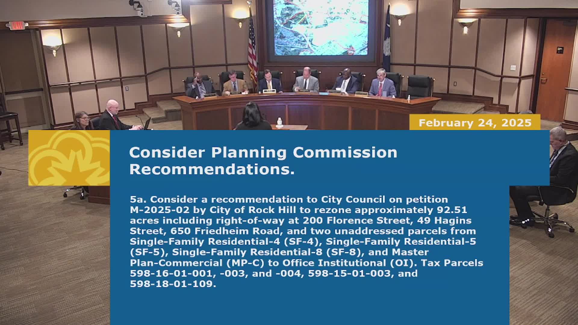
Summary
City council voted to rezone roughly 92.51 acres from various single‑family districts and Master Plan Commercial to Office & Institutional to enable a 105‑acre regional park; staff described park components, access routes and public concerns including flooding and trash.
Rock Hill City Council on Monday approved rezoning roughly 92.51 acres of land along Freedom Road, Hagen Street and Florence Street from several single‑family districts and Master Plan Commercial to Office and Institutional to allow the city to assemble a large park.
The rezoning covers five parcels the staff described as totaling about 92.51 acres; the city plans to combine those parcels with three additional parcels (one city‑owned and two to be acquired or leased) to form a roughly 105‑acre park. Shauna, a city staff member, presented the rezoning sketch plan and described proposed park elements: football and baseball fields, tennis, pickleball and basketball courts, walking trails, playgrounds, batting cages, concession areas, a community building, parking and other future uses.
Shauna told council the subject parcels include a 43‑acre parcel at 650 Freedom Road currently used as a public works laydown yard; two unaddressed wooded parcels of about 7 and 8 acres; a 21‑acre parcel developed with Arcade Park and two youth ball fields at 200 Florence Street; and a 13‑acre parcel at 49 Hagan Street that includes the Winston Sears Trail, open space and a stormwater pond serving the K. Mill neighborhood.
Staff and the planning commission recommended Office & Institutional zoning because, the presentation said, larger parks of this scale are more appropriately zoned OI rather than single‑family districts, which are suited to smaller neighborhood parks. Shauna noted the city previously rezoned Manchester and Cherry parks to OI for similar reasons.
The city said access to the park would be from multiple roads: Freedom Road, Millhaven Road, Sydney Street, Florence Street and Morgan Street, and also from Heckle Boulevard (an SCDOT principal arterial). The presenter said a traffic impact analysis (TIA) is underway and that any improvements to SCDOT roads will require coordination and encroachment permits with SCDOT. Shauna said the plan shows pedestrian connections, including a new easement into the Layton Forest subdivision, which the subdivision owner granted over the summer.
Public engagement included signs, postcards to property owners within 300 feet, a newspaper ad and a public input session last August; staff said seven inquiries were received after statutory notice. At the February 4 planning commission hearing, 15 people signed up and seven spoke; of those, one spoke in favor, one in opposition and others raised concerns including existing and potential future flooding, trash being dumped along streets, road conditions, noise, security and on‑street parking. Shauna said the park is planned to include sufficient on‑site parking and that some stormwater improvements are planned to be incorporated into the park design.
Mark Sexton, identified in the meeting as director of parks, recreation and tourism, told the council the parks department wants to be “a good neighbor” and will continue public engagement through a committee and monthly PRT meetings as designs are refined. Shauna emphasized the sketch plan will continue to be revised as the city moves toward final design and that the rezoning before council is not a final site plan.
Council moved and seconded the rezoning recommendation for petition M‑2025‑2 and voted to approve the rezoning and the related first reading amendment to the official zoning map. No roll‑call vote tally was recorded in the transcript; the mayor called for ayes and then announced the measures approved.
Why it matters: Rezoning to Office & Institutional clears a regulatory hurdle for a large multi‑field park that city staff say will serve multiple neighborhoods and centralize recreational facilities. The change also triggers future design, traffic analysis and coordination with SCDOT and further public engagement.
Planning and next steps: Staff said a TIA will identify required roadway improvements and that sidewalks, additional bus stops and pedestrian connections will be determined during final design. Council members said they expect continued neighborhood outreach as the project advances.