Rock Hill council rezones 92.51 acres to OI to enable proposed 105‑acre regional park
Get AI-powered insights, summaries, and transcripts
Sign Up Free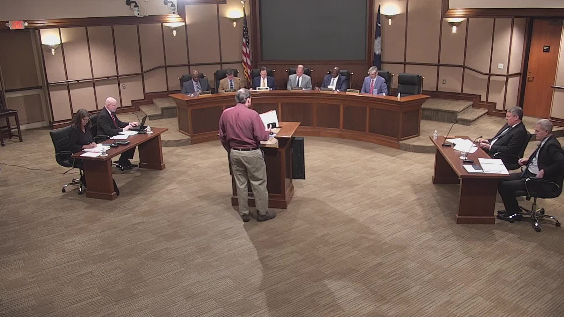
Summary
City council voted to recommend rezoning about 92.51 acres from several single‑family and master plan commercial districts to Office and Institutional (OI) to allow development of a proposed 105‑acre park featuring athletic fields, courts, trails and a community building.
Rock Hill City Council voted to recommend rezoning roughly 92.51 acres from single‑family residential districts (SF‑4, SF‑5, SF‑8) and Master Plan Commercial (MPC) to Office and Institutional (OI), a change staff and the planning commission said is more appropriate for a park of the scale being proposed.
The rezoning would allow the city to combine the rezoned parcels with three additional parcels (the city owns one and would lease or acquire the other two) to create a roughly 105‑acre regional park. The sketch plan shown to council includes football and baseball fields, tennis, pickleball and basketball courts, walking trails, playgrounds, batting cages, concession and vendor areas, a community building, parking, and other areas reserved for future development.
Shauna, a city staff member who presented the item, said the rezoning area contains five parcels totaling about 92.51 acres: a roughly 43‑acre parcel at 650 Freedom Road (a Public Works laydown yard), two unaddressed wooded parcels (about 7 and 8 acres), a 21‑acre parcel developed with Arcade Park and two youth ballfields at 200 Florence Street, and a 13‑acre parcel at 49 Hagan Street that includes the Winston Sears Trail and a stormwater pond serving the K. Mill neighborhood. She said the existing single‑family zoning allows neighborhood parks but that OI is more appropriate for larger parks and cited prior rezonings of Manchester and Cherry parks as similar precedents.
The presenter said access to the park would be from Freedom Road, Millhaven Road, Sydney Street, Florence Street and Morgan Street, with Heckle Boulevard providing additional access near the site; Millhaven and Arcadia are city‑maintained local roads, while the remaining roads are maintained by the South Carolina Department of Transportation (SCDOT). A traffic impact analysis (TIA) is underway; any improvements to SCDOT roads will require coordination with SCDOT and applicable encroachment permits.
Public outreach and feedback informed the plan. Staff reported seven direct inquiries from nearby property owners after public notice; the city also held public outreach on its website and social media, sent postcards within 300 feet per notification requirements, and held a public input meeting Aug. 19 and a planning commission hearing Feb. 4. At the planning commission hearing 15 people signed up and seven spoke; staff said one person spoke in favor and one in opposition. Concerns raised by speakers and in public comments included current and potential future flooding, trash dumping along adjacent streets, road conditions, parking on neighborhood streets, noise and security. City staff said some stormwater improvements are planned and would be integrated into park development when feasible.
Staff noted the site plan has changed since earlier public presentations and will continue to be refined. The most recent revisions shown to council include a dedicated pedestrian connection into the Layton Forest subdivision (the subdivision owner granted an easement), the removal of vehicle access from Morgan Street with that area shown as a warm‑up field instead of parking, closure of vehicle access on Florence Street (remaining pedestrian access via sidewalk), and relocation of a formerly proposed community building and some courts. Mark Sexton, Director of Parks, Recreation and Tourism, was identified in the meeting record as participating in outreach and encouraging continued resident input.
The planning commission and staff recommended approval of the rezoning to OI “to allow the city to add to a strong system of public parks,” Shauna said. Council moved to recommend approval of petition M‑2025‑2 and then approved a first reading of an ordinance amending the official zoning map to OI; both actions were approved by voice vote with no recorded opposition.
The rezoning is a legislative change to the city’s zoning map; the presenter and council emphasized this action is not final site design. Final layout, detailed stormwater and traffic mitigation, parking counts and specific security measures will be determined in future design phases and permits. Staff said additional community meetings and coordination with adjacent property owners will continue as the design advances.
Council members and staff said the project has been under discussion for several years and that additional refinements and community engagement will continue before final site plans are approved.