Get Full Government Meeting Transcripts, Videos, & Alerts Forever!
Get email alerts on the Land Use Planning topic
No spam. Unsubscribe anytime.
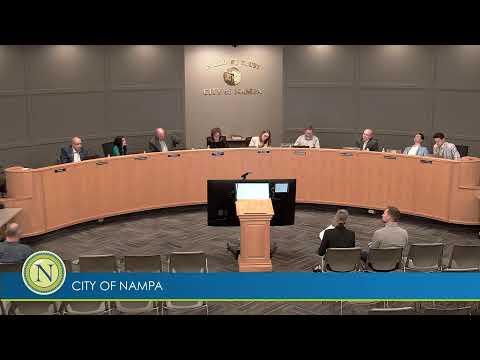
Nampa council approves Southwest Nampa plan after debate over buffers, density and traffic
Summary
Nampa City Council adopted the Southwest Nampa Specific Area Plan after staff rebuttal and lengthy council debate over buffers, traffic and density; council amended the map to change a low‑density block west of Lake Lowell to very low density.
Nampa City Council voted to adopt the Southwest Nampa Specific Area Plan, a comprehensive‑plan text and map amendment that defines land‑use guidance for the city’s southwest area of impact after extensive public rebuttal and council discussion.
The council approved the plan with a modification addressing concerns raised by residents and several council members: the “low density” designation in a specified block west of Lake Lowell was changed to “very low density.” Council members debated additional buffering and density transitions but ultimately approved the plan 4–2 with the one map change.
Staff presented the plan and a rebuttal of points made during earlier public testimony. Senior planner Brianna Sun summarized outreach and major plan elements: the project had a nearly three‑year planning timeline after the city’s area‑of‑impact expansion, included multiple open houses and workshops, mailed roughly 873 invitations to property owners in the plan boundary and 300 feet beyond, and assembled a master contact list of about 200 people who received public‑hearing notices. An open house drew “over a hundred” attendees, Sun said.
The questionnaire staff circulated produced mixed results: Sun said that 74% of those who answered a particular question were not in favor of the proposed land‑use changes, but she added that 40% of respondents declined to answer or were unsure. Of the 78 respondents who said they were not in favor and explained why, traffic and infrastructure concerns were the most frequently cited issues.
Traffic and infrastructure dominated the rebuttal. Staff said the Idaho Transportation Department (ITD) recognizes congestion at the Karcher Road interchange and has identified a potential new interchange between State Highway 2026 and Karcher as a future priority; Nampa and Caldwell have committed to funding a conceptual study. Within the plan area, staff said, proposed mid‑block collector roads and a more connected street grid are intended to disperse traffic, and new development will pay impact fees to help finance road improvements.
Staff also argued that allowing somewhat higher density near the city edge can help preserve agricultural land farther out by accommodating more homes on smaller footprints. Sun said the plan places the lowest density adjacent to Lake Lowell and the Deer Flat National Wildlife Refuge and proposes a 60–80‑foot buffer next to the refuge; refuge staff told city planners they had no objection to the plan and appreciated the buffer.
Council members expressed a range of concerns in a lengthy discussion. Several asked for clearer, mapped transitions between existing county subdivisions and new, higher‑density designations. Councilmember Bills and others pressed staff to increase transitional buffers — for example by converting some 5–8 dwelling‑units‑per‑acre designations to 2.5–5 — to reduce perceived “shock” at the edge of established low‑density neighborhoods. Staff said they could produce a revised map showing those buffers if council directed them to do so, but the final adopted amendment reduced one low‑density area west of Lake Lowell to “very low density” rather than adopting a larger package of map changes.
School‑district sites included in the plan drew questions. Sun said the city had not determined school siting; the Nampa School District owns some of the sites and retains authority over its timing and bond decisions. Sun said the district noted a need for a new high school and was holding land for that purpose.
Other issues raised during council debate included: how the plan interacts with Canyon County and the City of Caldwell (staff said the map reflects decades of interjurisdictional negotiation and that the county prefers that city development take place in this area rather than further south), the availability of sewer and utilities, and the economic viability of commercial nodes without sufficient nearby rooftops.
Before voting, council members asked for and received clarification that the plan would be used to guide development and inform landowner and developer expectations, but that individual annexations and rezones would still require separate public hearings.
Ending: Council approved the Southwest Nampa Specific Area Plan as amended; staff will incorporate the board’s direction into the published plan and return with any requested map refinements and follow‑up materials requested by council.