Get Full Government Meeting Transcripts, Videos, & Alerts Forever!
Get email alerts on the Wetlands Variances Industrial Park topic
No spam. Unsubscribe anytime.
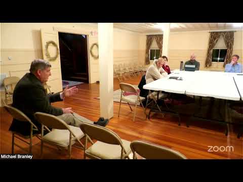
Zoning board approves two variances to allow wetland crossings for industrial‑park lots
Summary
The Swansea Zoning Board granted variances to allow two limited wetland crossings in the Industrial Park / ERZ / TIF district, permitting access to otherwise land‑locked upland areas. Both approvals are conditioned by required state wetlands permits and standard design/mitigation measures.
At its March 3 special meeting the Swansea Zoning Board granted two variances to allow wetland crossings that the board said are necessary to access sizable upland building areas inside the town’s industrial park and tax‑increment finance (TIF) area.
Fieldstone Land Consultants’ civil engineer Chad (presented under the name Chad Brandon/Chad Grama in the hearing record) spoke for both applicants. The first application, described in the hearing record as EBA 25‑F‑003, was filed by Sapphire Business Park LLC for tax map 209, lot 4. The applicant said the proposed crossing would impact roughly 2,000 square feet of wetland to provide access to approximately one‑third of the lot’s buildable upland. The engineer described a standard access crossing — a driveway with appropriate culverts, headwalls and erosion controls — and said the crossing would be sized to meet New Hampshire Department of Environmental Services (NHDES) wetlands standards and the Army Corps of Engineers’ jurisdiction where applicable.
The second application concerned a larger parcel (about 15.17 acres) filed as part of the industrial‑park district (the record identifies the owner/developer as 234 Olmstead Highway Realty LLC). That crossing would open access to about six acres of contiguous upland on the north side of an existing wetland and was estimated in the record to affect roughly 4,000 square feet of jurisdictional wetland. The engineer said the team selected the narrowest crossing location to minimize impacts; typical construction would include culverts sized to current precipitation tables, headwalls, and best management practices for stormwater and erosion control.
Board members explicitly discussed the role of state permitting. The applicants and board acknowledged that any crossing must be permitted by NHDES’s Wetlands Bureau and that the Army Corps of Engineers could assume jurisdiction if required. The applicants described pre‑application coordination with NHDES and said the state would evaluate hydrology, fish & game/wildlife concerns and the need for multiple culverts to maintain hydraulic continuity. For the smaller parcel the applicant said a 24‑inch high‑density polyethylene culvert would likely be used; for the larger crossing the final design and number/size of culverts would depend on the state’s review and the watershed evaluation.
Members of the public and the conservation commission had mixed reactions. Some conservation commissioners present said they are reworking the town’s wetlands ordinance language to address unintended consequences; others said the proposed changes on the town meeting warrant had not fully captured the commission’s original intent. Residents and a conservation commissioner asked technical questions about long‑term culvert maintenance, the frequency and sizing of design storms, and how the town would ensure crossings are inspected and maintained. The applicants responded that modern design standards and extreme‑precipitation tables are used to size culverts, and that routine maintenance provisions and semi‑annual inspections are typical elements of permit conditions.
After extended discussion the board voted to grant both variances. Board members repeatedly cited the special conditions of the parcels — notably the large contiguous upland buildable areas and the parcels’ location in the Industrial Park, the Economic Revitalization Zone (ERZ) and the TIF district — as the reason denying crossing relief would amount to a practical land taking. Board members noted the state permitting process and the planning board’s site‑plan review would further limit environmental impacts.
The board’s approvals were recorded with standard conditions: the applicant must obtain all applicable NHDES and federal permits and design the crossings to avoid, minimize and mitigate wetland impacts. The approvals include the expectation of best management practices for stormwater and erosion control and the board’s recommendation that crossings include designs that preserve hydraulic continuity in the wetlands.
Why it matters: the variances enable development of parcels that town voters and officials have identified for economic revitalization and industrial growth, while leaving final technical design and mitigation to state and federal permitting authorities. The votes also highlighted local friction: the conservation commission is revising local wetlands language, and the board recognized the potential for further ordinance changes and additional permit applications.
What’s next: applicants will proceed with NHDES wetlands permit applications and with required planning‑board site‑plan amendments for the expanded access; the board’s approvals were contingent on obtaining those state and local permits.