Get Full Government Meeting Transcripts, Videos, & Alerts Forever!
Get email alerts on the Mining And Permitting topic
No spam. Unsubscribe anytime.
Alaska DNR reviews 2024 mining totals, mapping and permitting coordination as exploration slows
Summary
Department of Natural Resources officials told the House Resources Committee that Alaska’s mineral industry had an estimated 2024 value of $4.5 billion, that state mapping and geophysical surveys are expanding, and that permitting coordination is available through a state Office of Project Management and Permitting but timelines vary by project.
The Alaska Department of Natural Resources told the House Resources Committee on March 3 that the state’s mineral industry had a preliminary estimated value of $4,500,000,000 for 2024 and that state geological mapping and airborne geophysics are being expanded to support exploration and permitting.
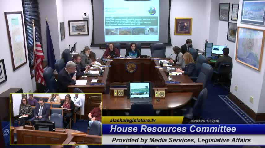
The presentation, led by Jennifer Aethy, operations manager for the Division of Geological and Geophysical Surveys (DGGS), and followed by Christie Collis, director of the Division of Mining, Land and Water (DMLW), and Kate Harper, associate director of the Office of Project Management and Permitting (OPMP), outlined production, exploration spending, mapping projects and the state’s coordination role in large-mine permitting. Committee members asked about how production values are calculated, permitting timelines and abandoned-mine funding.
The figures cited matter because they shape budgeting, permitting resources and state engagement with federal reviews: DGGS estimated 2024 production and exploration activity at $4.5 billion, with about 65 exploration projects and roughly $225 million in exploration spending. "Alaska is a great state with a huge mineral endowment," Jennifer Aethy said, and she described DGGS’s role in mapping, airborne geophysics and data distribution.
DGGS told the committee it tracks industry activity and produces public data products. The division reported 2024 counts of about eight operating mines, seven lode mines, one coal mine, roughly 150 placer gold operations and about 80 active sand-and-gravel operations. DGGS said it published some 30 terabytes of digital geologic information in 2024 and that its exploration geochemistry web application receives about 42,000 views per year.
Committee members pressed on how DGGS calculates the industry value. Representative Matt Sadler asked whether the figures reflect concentrate or refined product; Aethy said the division uses company reports and the quantities companies report (for example, zinc concentrate tonnages) and multiplies reported quantities by annual average commodity prices to estimate first-market value, a high-level measure that can overstate downstream refined value. Aethy noted gold production was estimated at about 844,000 troy ounces in 2024 versus roughly 720,500 in 2023, and that higher gold prices contributed to the year-over-year increase.
Director Christie Collis reviewed DMLW duties: processing mining claims and leases, reviewing reclamation plans and bonding, administering coal regulatory primacy, and managing the state’s abandoned mine reclamation program. Collis said the abandoned-mine unit receives recurring federal funds and cited approximately $1,500,000 coming through the infrastructure law for reclamation work; she said the unit maintains a prioritized list of candidate sites and assesses eligibility before obligating funds.
On permitting, Kate Harper described OPMP’s role as a coordination office that offers an optional large-mine permitting team model, assigns a coordinator to projects, and formalizes engagement through memoranda of understanding and annual financial agreements. Harper said the office currently has coordination agreements with eight exploration projects (including Johnson Tract, Graphite One, Niblack, Palmer and Pebble) and six operating mines (including Fort Knox, Greens Creek, Kensington, Pogo and Red Dog), and also maintains a coordination agreement with Donlin, which is permitted but facing litigation.
Committee members asked about timing and funding. Collis said permitting times for DMLW approvals vary by permit type and can range from about one month to 12 months. Deputy Commissioner John Crother explained that OPMP’s work is usually paid through interagency receipts and reimbursable service agreements—projects that opt in reimburse state agencies for time spent—so the number of active coordination agreements does not always map directly to year-to-year revenue if project workloads fluctuate.
Members also asked technical questions about the state’s geophysical surveys. DGGS said airborne geophysics can image subsurface properties to a range of roughly 200 to 500 feet depending on survey type, and that DGGS is mapping more than 16,000 square miles in interior Alaska with about 2,000 field person-days invested since federal fiscal year 2019. DGGS credited federal partners, including the U.S. Geological Survey’s Earth MRI program, for funding and data reanalysis in places.
The presentation closed with committee members seeking follow-up on several items: (1) documentation on DGGS survey depths and geophysical capabilities; (2) more detail on OPMP and DNR budget lines related to reimbursable agreements and "other" fund sources; and (3) information on federal funding or USGS staffing impacts if those arise. The committee adjourned with a plan to hear a separate presentation on global LNG markets at its next meeting.