Get Full Government Meeting Transcripts, Videos, & Alerts Forever!
Get email alerts on the Economic Development Land Use topic
No spam. Unsubscribe anytime.
Committee backs studying Route 60 parcels to prioritize light industrial uses to boost commercial assessment
Summary
A Powhatan County advisory committee voted to pursue changing future land‑use priorities along the Route 60 corridor to favor light industrial uses and formed a subcommittee to refine parcel recommendations and plan revisions aimed at advancing the county's
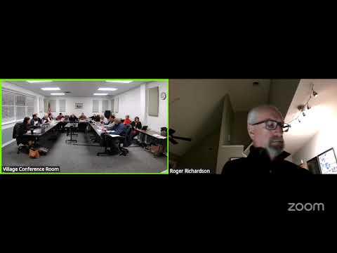
A Powhatan County planning advisory committee voted to pursue a land‑use shift that would prioritize light industrial development along the Route 60 corridor and set up a subcommittee to draft specific changes to the future land‑use map.
The move comes after staff presented a GIS‑based review of roughly 46 parcels in a 2,000‑foot band along Route 60 and analysis applying existing developed parcel assessment averages to those parcels. Committee members framed the proposal as a way to increase the county's commercial assessment base — the numerator in the county's “85/15” objective for commercial versus residential assessed value — while directing higher‑paying, employer‑based businesses into targeted areas.
Why it matters: committee members said the county’s current commercial assessment share (c/(c+r)) is about 6.7% countywide and that converting or refocusing identified parcels could move the ratio toward the mid‑teens. Staff showed that using averages from developed commercial and light‑industrial parcels yields an average of about $453,000 per acre for those uses on sample sites; the 46‑parcel sample covers roughly 370–372 acres and carried current assessed totals staff showed as roughly $168.8 million for developed comparables. Committee discussion emphasized that the change envisioned would be long‑term — years or more — and that outcomes depend on market interest, infrastructure and parcel consolidation.
What staff showed and what members asked: the GIS presentation identified existing gateway commercial zoning, I‑1 (light industrial) zones and a set of potential a‑10 parcels that could be transitioned under a future plan. Presenters noted some parcels are already zoned for commerce and others would require rezoning from a‑10 or other designations. Committee members pressed staff on adjacency to residential neighborhoods, utility availability (particularly three‑phase power, water and sewer), parcel sizes developers typically seek (commonly 5–50+ acres depending on project), and the gap in the Route 60 corridor that many residents want to keep lower‑intensity.
Members also discussed a county data center project separately; staff said that project was not included in the parcel sample used for the assessment analysis because its assessment and tax treatment are an outlier and are being handled separately.
Concerns and clarifications: several members urged clearer public language and mapping in the future land‑use plan so residents and prospective businesses can understand what is and is not allowed in each designation. Committee members repeatedly noted that “light industrial” in Powhatan is not intended to mean heavy manufacturing with smoke stacks; presenters cited Oak Ridge and similar examples of light‑industrial users that are relatively low profile and produce local jobs and business‑property‑personal property (BPP) tax revenue. Staff and members also flagged that assessment‑based projections do not capture the full county budget picture (costs of services, sales tax and proprietary tax details), and that some revenue streams (for example, detailed sales tax at parcel level or BPP for specific businesses) are proprietary and must be handled differently from assessed‑value projections.
Formal action and next steps: the committee moved, seconded and voted in favor of pursuing the concept and working with staff to bring more specific future‑land‑use revisions back for review. The motion did not name a formal mover or record individual roll‑call tallies in the transcript; the chair called the question and members voted “Aye.” The committee also created a subcommittee to refine parcel selections and draft recommended comp‑plan language and mapping; the chair listed subcommittee members as Roxanne (staff member), Bob (staff member), Bill Donati (District 5 appointee to the committee), Bill (committee member), Billy Melton (committee member) and Chris (committee member). The subcommittee is to meet and return recommendations for public review and for discussion at a future committee meeting.
What’s next: staff said they can publish the GIS map views and supporting spreadsheets for broader viewing and that further work will include evaluating transportation connections, utility capacity, parcel consolidation opportunities and adjacency buffers. The committee signaled it will prioritize refining permitted uses and clearer land‑use labels so businesses and residents have clearer expectations.
Ending: the committee framed the effort as an incremental, multi‑year effort to improve the county’s commercial tax base and to attract higher‑paying local jobs while balancing resident concerns about character and adjacency.