Get Full Government Meeting Transcripts, Videos, & Alerts Forever!
Get email alerts on the Land Use Rezoning topic
No spam. Unsubscribe anytime.
Powhatan planning commission recommends rezoning 55.46 acres on Anderson Highway; public raises data‑center, traffic and trail concerns
Summary
The Planning Commission voted 5-0 to recommend approval of rezoning case 25-01-REZ to Light Industrial for 55.46 acres on Anderson Highway. Public commenters pressed the commission to secure road connections, trails and stronger environmental buffers and voiced opposition to possible data‑center uses.
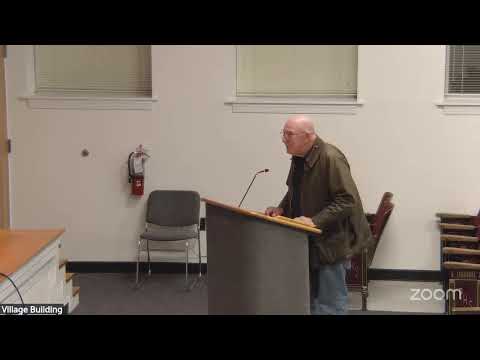
The Powhatan County Planning Commission recommended approval 5-0 on Feb. 4 of rezoning case 25-01-REZ, a request to rezone roughly 55.46 acres on the north side of Anderson Highway from A‑10 (agriculture) to Light Industrial 1 with proffered conditions.
The commission’s vote follows a staff presentation that described the four parcels (tax map parcels referenced in the staff report) as roughly 60% wooded, bisected by intermittent streams and adjoining existing commercial and industrial uses including Walmart and a quarry. Planning staff said proffers from the applicant include a 75‑foot setback from Anderson Highway, a Type B intermittent buffer adjacent to wetlands and a permission for the county to install a pedestrian trail in a 70‑foot area at the front of the property if desired. Staff noted any development would require a site plan and review by county departments and the Virginia Department of Environmental Quality.
Why it matters: The site is designated gateway business/industrial on the county’s future land‑use map and has been marketed as a Tier 4 business‑ready site by the applicant with assistance from the Virginia Economic Development Partnership. If rezoned and developed, the property could add commercial or industrial acreage along Route 60 and affect traffic, drainage and trails planning for the area.
Public commenters raised several recurring concerns. Multiple residents and county stakeholders urged the commission to secure a physical extension of Carter Gallier Boulevard through the property (or a firm proffer toward right‑of‑way) so future development would not add turning/stacking pressure to Route 60. Several speakers, including residents who identified themselves as members of local citizen working groups and the trails advocacy community, asked the county to require a built pedestrian trail or sidewalk along Route 60 as a proffer rather than only a right‑of‑way reservation. One commenter (Kim Russo) and others urged the commission to consider impacts from potential data‑center uses — citing JLARC (the Joint Legislative Audit and Review Committee) findings, water consumption and noise — and argued the county should weigh whether data centers fit the county’s comprehensive plan vision.
Speakers also questioned stormwater impacts and the mapped intermittent wetlands on the site. Staff and the applicant said wetlands and buffers would be delineated during site plan review and any required 50‑foot separation would be applied. The applicant, Robbie Irvine, said he has attempted but not been able to acquire an adjacent one‑acre parcel and noted he has worked with the county for years on preparing the site for economic development.
Planning commissioners discussed proffers, buffers and the unknown end user. Commissioners said they understood why an applicant requests rezoning before securing a final user — rezoning makes the property marketable — but several asked whether stronger language could be added regarding Carter Gallier Boulevard and whether the Type B buffer should be Type C if an industrial end user is later confirmed. Staff said the buffer standard could be discussed with the applicant and that HCOD (a proposed Highway Commercial Overlay District) may change future buffer requirements.
Votes and formal action: The Planning Commission’s motion to recommend approval passed on a roll‑call vote with all five members present voting aye (District 1 Commissioner Hall: aye; District 2 Commissioner Boling: aye; District 3 Commissioner Winnall: aye; District 4 Commissioner Hughes: aye; District 5 Commissioner Hatcher: aye). The commission’s recommendation forwards the rezoning request to the Board of Supervisors for final action.
Next steps: Any future development will require a site plan with engineering review, wetland delineation, VDOT coordination for entrances and a formal review of any proffer language the Board of Supervisors considers. The Board will receive the commission’s recommendation at a future board meeting; no board decision was made at this hearing.