Get Full Government Meeting Transcripts, Videos, & Alerts Forever!
Get email alerts on the Land Use Zoning Consistency topic
No spam. Unsubscribe anytime.
GPAC recommends reclassifying small hillside parcels and enacting hillside development ordinance
Summary
The General Plan Advisory Committee voted to change land-use designations for R1 parcels under 1 acre from Very Low Density or Single Family Conservation to Single Family, and to concurrently enact a hillside development ordinance to resolve map inconsistencies and reduce legal risk under state housing law.
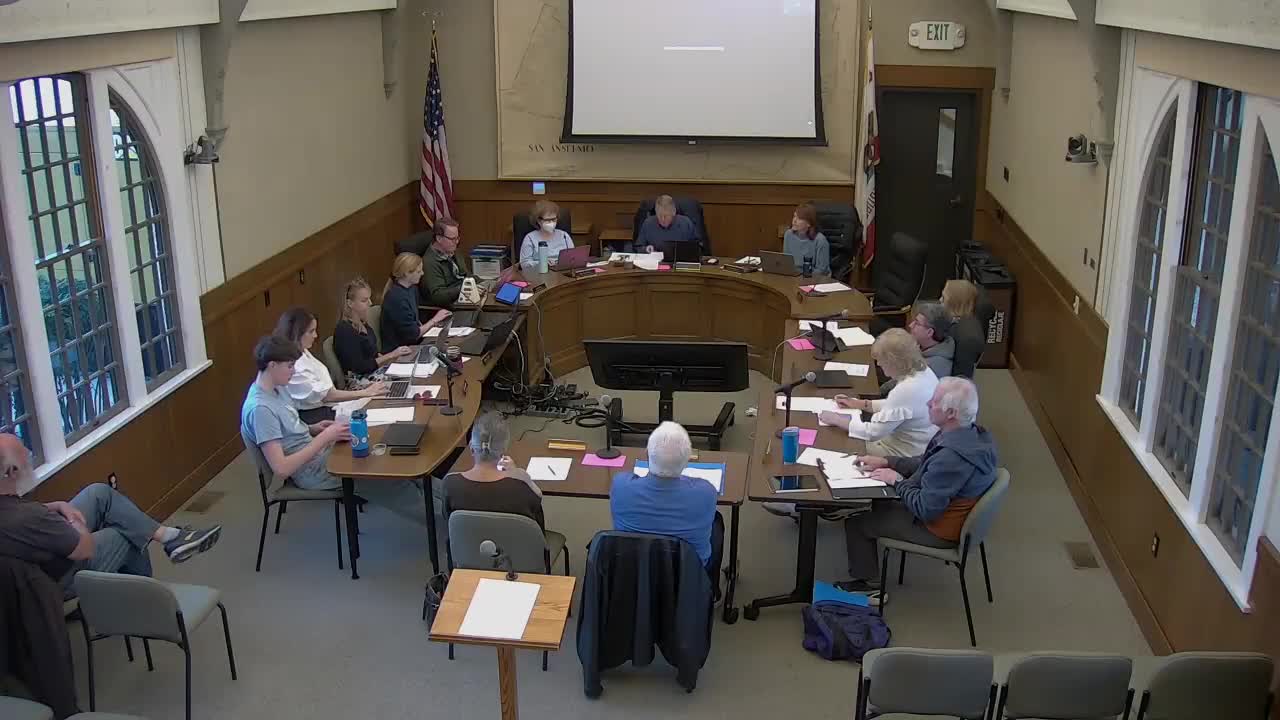
The General Plan Advisory Committee voted July 9 to recommend that the town amend land-use designations on R1 parcels smaller than 1 acre from Very Low Density (VLD) or Single Family Conservation (SFC) to Single Family (SF) and to concurrently enact a hillside development ordinance.
The change is intended to fix inconsistencies between San Anselmo’s general plan land-use map and its zoning map and to reduce the town’s exposure to legal challenges under state law, including SB 330. Lindsay (planning staff) told the committee that “the general plan land use map and the zoning map should match, according to state law.” Emily Longfellow, town attorney, warned that SB 330 (adopted February 2019) effectively prohibits downzoning without compensating upzoning elsewhere and said leaving the maps inconsistent could lead developers to claim the more permissive standard.
Why it matters: State law requires consistency between a jurisdiction’s general plan and zoning maps; where the two conflict, courts and state guidance increasingly favor allowing the more permissive outcome. The committee was presented two staff solutions: (1) change the land uses to match current zoning and pair that with a hillside development ordinance to maintain design and safety protections; or (2) change the zoning to match the land uses, which would require upzoning other parts of town to avoid net loss of residential density and would trigger substantial additional staff, consultant time, and state scrutiny. The GPAC chose the first approach as the lower-risk, more administrable option.
Background and analysis: Staff showed the committee maps and parcel counts demonstrating the scope of the inconsistency in San Anselmo’s hillside neighborhoods. According to the background report summarized to the GPAC, nearly 98% of parcels designated SFC are under 1 acre and therefore cannot meet the minimum lot-size requirement tied to that land-use designation; 53.3% of VLD parcels are also under 1 acre. Staff reported there are 182 parcels in the VLD category and 92 parcels in the R1H zoning district, leaving roughly 90 parcels that are at or above 1 acre.
Staff presented two solutions. Under Solution 1 (the course the GPAC endorsed), staff would redesignate hatched parcels in the report from VLD or SFC to SF so land-use designations match the existing R1 zoning, then adopt a hillside development ordinance (examples cited: Fairfax, Ross, San Rafael, Larkspur) that would impose objective design and development standards — for example, limits on exterior lighting, color palettes, building stepbacks, grading controls and wildfire-related safety measures — to preserve hillside character and safety. Under Solution 2, the town would downzone R1 parcels to match VLD/SFC, which would require identifying roughly 600 additional housing units capacity elsewhere in town (via upzoning) to satisfy SB 330’s “no net loss” requirement; staff said that approach would be costly, time consuming and likely to invite greater state oversight.
Discussion and implications: Committee members raised wildfire, road and infrastructure constraints, and the risk that subdivisions or redevelopment could increase house counts in the hills despite protections; staff and the town attorney said those risks would be addressed through objective hillside development standards, existing subdivision and slope-based rules, building and fire codes, and the environmental review that will accompany the general plan update. Emily Longfellow cautioned that reopening large elements of the housing element to accommodate significant downzoning could expose the town to the builder’s remedy and other developer claims.
Action taken: Chair Kerr read a motion asking the GPAC to recommend changing land-use designations for R1 parcels under 1 acre from VLD or SFC to SF and to concurrently enact a hillside development ordinance. The committee adopted the motion on a roll-call vote: 11 yes, 0 no, 0 abstain; two members (Michaels and Hughes) were absent. The chair’s motion (as read) stated: “The GPAC recommends that the town amend the land uses of R1 parcels with less than 1 acre from VLD (Very Low Density) or SFC (Single Family Conservation) to become SF (Single Family), and that the town concurrently enact a hillside development ordinance.”
Next steps: Staff said the GPAC’s direction will be folded into the draft goals, policies and actions for the general plan update; the environmental review (EIR) will evaluate wildfire and infrastructure impacts. Staff indicated they can accommodate Solution 1 within the current project timeline and budget; Solution 2 would likely require additional consultant time, staff resources and council-level decisions about upzoning and funding. Staff signaled a target of bringing drafts and check-ins to the Town Council as the update proceeds, and noted the general plan adoption is being targeted for spring 2026. The GPAC was also given upcoming meeting dates and a public workshop schedule (for example, a public workshop on commercial districts was scheduled for Jan. 23 at 6:30 p.m.).