Get Full Government Meeting Transcripts, Videos, & Alerts Forever!
Get email alerts on the Land Use Watershed Density Averaging topic
No spam. Unsubscribe anytime.
Watershed board approves transfer of buildable area from Stonegate open space to Chandler Hills lots
Summary
The Moore County Watershed Review Board approved a request from Plaque Point Development LLC to transfer allowable built-upon area from an 8.32-acre open-space parcel in Stonegate Subdivision to multiple lots in the Chandler Hills subdivision, citing compliance with state watershed averaging rules.
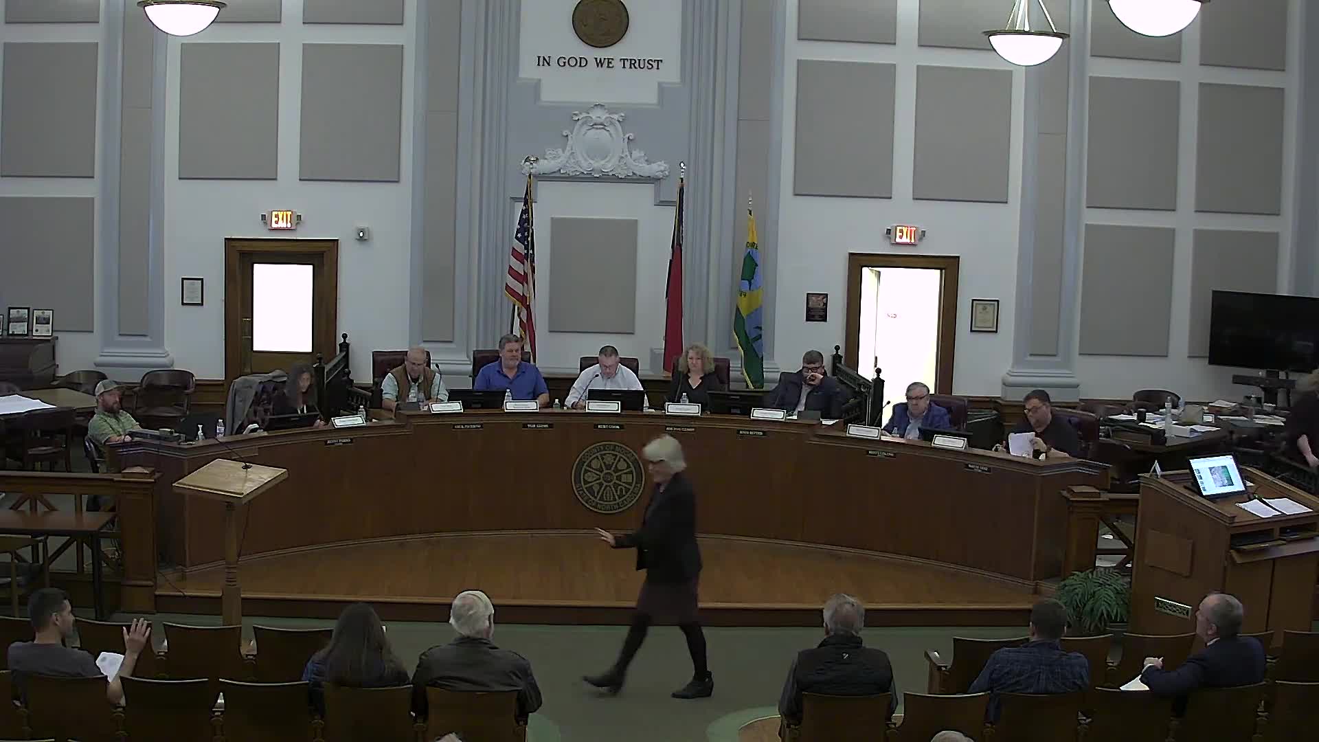
The Moore County Watershed Review Board approved a request by Plaque Point Development LLC to transfer allowable built-upon area from an 8.32-acre open-space parcel in the Stonegate subdivision to nine lots in the Chandler Hills subdivision, the board decided at its public hearing during the planning board meeting.
Planning staff said the transfer is allowed under state watershed density-averaging rules and the county Unified Development Ordinance (UDO). "This item is an item that we have been working with Mister Kirkpatrick for quite some time ... and it has been an ordeal, but it's something that he is able to do," Planning Director Deborah Insminger said, introducing Danielle, the staff planner who presented the maps and calculations.
The staff presentation showed the Stonegate open-space parcel is 8.32 acres and that the applicant submitted revised final plats, homeowners' covenants and exhibit C meets-and-bounds for the nine lots involved. According to the presentation, 1,899.74 square feet of allowable built-upon area would be transferred from Stonegate and allocated primarily to Lot 9 in Chandler Hills. Danielle told the board that, if approved, Lot 9's allowable buildable square footage would increase to 5,082.74 square feet when a building permit is reviewed.
Developer James (Jay) Kirkpatrick, an owner and applicant for the Chandler Hills and Stonegate properties, described the process as lengthy. "This has just been a long and arduous process," Kirkpatrick said, adding that previous developers and the homeowners association limited lot coverage and that the application follows the documentation and criteria required by state statute.
Contractor Kevin Bartlett and the applicant's attorney, Donald "Buck" Adams, also spoke at the hearing in support of the request. Bartlett said he works closely with the homeowners association and described the requested changes as an attempt to align buildable areas with the type of houses buyers expect. Adams told the board he understands the compliance requirements going forward and that the applicant is prepared to meet them.
Staff noted the application answered the eight criteria in North Carolina General Statute 143-214.5(d)(2) and cited UDO section 16.7 (watershed overlay district). The staff report said required notices ran in the newspaper for two consecutive weeks and included the necessary exhibits and revised plats.
After the public hearing the board voted to approve the request. The motion directed staff to implement the transfer of allowable built-upon area from the Stonegate parcel to Chandler Hills lots 9, 10, 11, 12, 13, 14, 15, 16 and 20 in accordance with the watershed overlay provisions and state statute. The vote was taken by voice; the chair called for "All in favor? Aye," then "Opposed?" and announced the motion carries.
The watershed review board decision is final for the watershed review role; planning staff reminded the planning board and the public that the planning board's role on other items is to make recommendations to the Moore County Board of Commissioners, which retains decision-making authority on land use matters.
The applicant will proceed with building-permit reviews under the revised plats and staff said permits will be checked on a lot-by-lot basis to ensure the allowed built-upon area per lot is not exceeded.