Get Full Government Meeting Transcripts, Videos, & Alerts Forever!
Get email alerts on the Zoning Maps Title16 topic
No spam. Unsubscribe anytime.
Wasilla planning commission previews Title 16 rewrite and shows new online zoning maps
Summary
City planner updated the Planning Commission on next steps for the Title 16 code rewrite, demonstrated newly available online zoning maps hosted by city and Mat-Su Borough GIS systems, and noted a correction on an upcoming conditional-use application. A consent-agenda motion to approve meeting minutes was approved by voice vote.
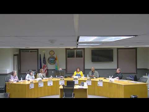
City planner Wellman told the Wasilla Planning Commission on Feb. 11 that the city is moving “forward with the next step of our Title 16 rewrite” and that the commission will return to joint meetings with council and staff to complete training and case studies.
Wellman demonstrated the city’s new online zoning maps, accessible from the City of Wasilla website and as a layer on the Matanuska-Susitna (Mat‑Su) Borough ArcGIS parcel viewer. She showed how users can search addresses, view zone-specific use charts and click links from the maps to code sections such as poultry regulations. Wellman said the borough is hosting a land‑use regulation layer under an existing memorandum of understanding or agreement so the city’s zoning information is widely available.
Why it matters: the online maps give residents, developers and real‑estate professionals an interactive way to check permitted uses and notice requirements before submitting applications. Wellman said the mapping tools use a Google‑based address search for the city layer and the borough uses its ArcGIS addressing, and she explained a wildcard workaround for borough searches when a street direction is not known.
Key details from the update: Wellman said staff are scheduling joint Title 16 work sessions and training on parliamentary procedure and quasi‑judicial case studies; the next joint meeting was described as March 3 at 6 p.m. She also noted two conditional‑use permits on the Feb. 25 agenda and corrected a typo on one application: “That should be a 20,000‑square‑foot facility, not a 40,000‑square‑foot,” she said.
Wellman described practical features available on the borough site, including a 2024 aerial imagery layer and a “view land use regulations” option that displays city boundary data, mayor and assembly contacts, and school board information. She said staff want to add a short disclaimer on the mapping site to remind users to verify details with the planning office before relying on the maps for final decisions.
During the meeting the commission approved the consent agenda, which included the minutes of the Jan. 28, 2025 regular meeting and the Jan. 29, 2025 special meeting. Commissioner Stafford moved to approve the consent agenda; the motion was seconded (recorded as “Landschel” in the meeting) and approved by voice vote. The meeting record did not include a roll‑call vote tally.
Planner Wellman thanked staff and volunteers who helped put the maps online, including Steve Culligan, and welcomed new planning clerk Julia Barnett to the office. She said having multiple reviewers will help keep the online use charts accurate and enable faster updates once the rewritten Title 16 is adopted.
Prognosis/next steps: staff will continue Title 16 rewrite work with joint sessions, finish trainings and plan map updates to align with the ordinance timeline so the maps reflect any adopted code changes when they go into effect.