Get Full Government Meeting Transcripts, Videos, & Alerts Forever!
Get email alerts on the Station Area Plans topic
No spam. Unsubscribe anytime.
Provo staff present state‑required station area transportation maps; TMAC asked for two‑week review
Summary
City planning staff presented draft transportation components of station‑area plans required by the state for areas near UVX and FrontRunner stations. TMAC members were asked to review routing, design standards and connectivity and to return comments within two weeks ahead of council work session deadlines.
Provo City staff presented draft transportation maps for state‑required station area plans and asked the Technical/Mobility Advisory Committee (TMAC) to review routing and design standards ahead of a March council work session and an end‑of‑year submittal to state reviewers.
Hanna Hovland of Provo Development Services told the committee the state requires station area planning around certain transit stations (quarter‑mile for UVX stations; half‑mile for Frontrunner) and that the plans must address housing, environment, transportation and economic opportunity as explicit state objectives. Staff said the documents will be submitted to MAG (Mountainland Association of Governments) and UTA (Utah Transit Authority) for review and that rezones will be required later to align local zoning with adopted future land use maps if the plans remain as proposed.
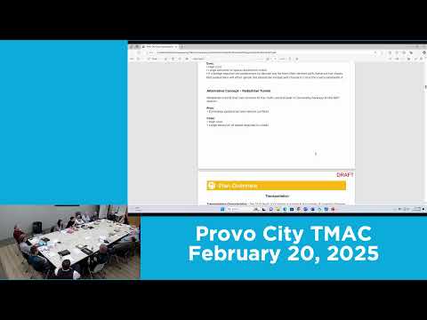
Staff walked members through sample station maps, including suggested new multiuse and connector routes, a proposed College Connector Trail link and a possible pedestrian bridge or tunnel option over University Parkway for one station area. For the 2300 North area staff noted existing pedestrian desire‑lines across parking lots and recommended adding clearer, ADA‑compliant pedestrian links or signage rather than leaving people to cross through private lots.
Staff emphasized these materials are drafts; they described a public engagement process that included an open house and about 700 survey responses used to develop the maps. Hovland asked TMAC members specifically whether the proposed routes match commuting patterns and whether the design standards should be adjusted. She requested comments within two weeks, and said the full transportation elements will be presented to planning commission in May–June and to the council for “approval as to form” in June–July before state review.
Committee members asked several clarifying questions about timelines, whether rezones could later be changed, neighborhood outreach, and how the state review could affect transportation funding. Staff said rezones would be required to align zoning with adopted future land use maps but noted the council would retain normal rezoning authority afterward; staff also said the state has in past exercises withheld some funding opportunities from jurisdictions that did not meet plan deadlines.
Members endorsed the materials in general and agreed to review the packet on their own. Staff said they will integrate submitted comments and return with revised materials to TMAC if needed at the March meeting, and another staff member will present the package at that meeting if Hovland is out of town.