Get Full Government Meeting Transcripts, Videos, & Alerts Forever!
Get email alerts on the Digital Government topic
No spam. Unsubscribe anytime.
Decatur council hears demonstration of ‘Ordinal’ AI tool for zoning, code lookups
Summary
City staff and a software vendor demonstrated Ordinal, an AI-driven search tool that links local GIS, city ordinances and state building codes; staff requested references, asked for follow-up on costs and data requirements.
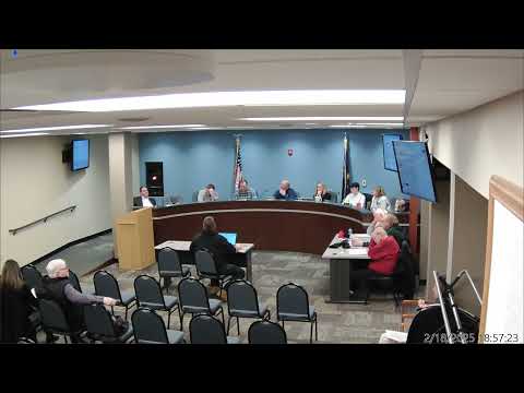
Decatur City Council members heard a demonstration Tuesday of an AI tool called Ordinal that the vendor says can search linked local GIS layers, city ordinances and state building codes to answer questions about property zoning, permit requirements and code provisions.
The presentation, led by staff member Kurt and Jacob Harrington, a co‑founder of Ordinal, explained the product’s core functions and potential uses for planners, utility staff and permitting personnel. Kurt said the company would ingest the city’s ordinance and GIS layers so a user could “pull up any property in city limits, and it can tell you who your councilman is. It can tell you what it's zoned,” and other parcel‑specific data. Jacob Harrington said the system “puts all that data as a pack of books” into a single knowledge base that can be queried in natural language and that the product returns citations to the source documents.
Why it matters: Councilors and staff said the tool could reduce staff time spent searching codes and records, speeding customer responses and freeing planners for higher‑level tasks. Council members pressed the vendor and staff on costs, data access and references before any purchase decision.
Details and next steps: The vendor’s initial pricing, as stated in the presentation, included a $10,000 start‑up fee and a $15,000 annual license. The vendor offered to waive the start‑up fee and reduce the annual fee to $10,000 if multiple municipalities in the county subscribed; staff said the county was being approached about the same arrangement. Kurt said the vendor estimated about two weeks to onboard a new city. Staff noted a technical requirement that the city’s ARI (accessible raster/attribute interfaces for GIS) be available so the vendor can ingest GIS data.
Council members asked staff to gather references and technical answers. Kurt and others said they would schedule a follow‑up call with the vendor, collect questions from council and get a list of other cities using Ordinal. Members of council were asked to email specific questions and to let staff know if they wanted to be in the demonstration call. No contract or formal procurement action was taken at the meeting.