Fairhope council reviews four options to rework Ingleside–Fairhope intersection, weighs safety vs. cost
Get AI-powered insights, summaries, and transcripts
Subscribe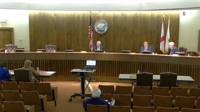
Summary
City staff and consultants presented four alternatives for the Fairhope Avenue/Ingleside Street intersection — from right-in/right-out medians to a full roundabout — and council members debated trade-offs including safety, cost, right-of-way impacts and future MPO funding. No vote was taken; staff were asked for more mapping and cost estimates.
Fairhope City officials spent the work session reviewing four design alternatives to address crash risk and traffic movements at the Fairhope Avenue and Ingleside Street intersection, but took no formal vote.
The council heard from Chief Hollinghead and staff engineer Richard (surname not specified), and reviewed a report prepared by consultant Neil Schafer outlining alternatives ranging from a low-cost right-in/right-out median (Alternative A) to a traditional single-lane roundabout with optional slip ramps (Alternative C) and a “peanut” or dog-bone roundabout (Alternative D). "He did put them in order from least expensive to most expensive," Schafer told the council when introducing the options; Richard described A as "really the least amount" of construction because it mostly adds triangular landscape medians.
Why it matters: council members framed the choice as immediate safety gains versus long-term functionality and community impact. Several council members said Alternative A would likely be the safest but would bar cross movements at Ingleside, forcing local drivers to detour and potentially pushing traffic onto nearby residential streets. "If you're traveling north or south on Ingleside, you can't get across Fairhope Avenue, which I think is a huge negative," one council member said. Alternative B preserves full movements by offsetting approaches and adding a center refuge turn lane; staff described it as a low-cost approach that fits in existing right-of-way but noted limited storage for turning vehicles. The roundabout options (C and D) were described as the most expensive and the most likely to require acquisition or utility relocation, but also the most durable long-term fix.
Key details discussed
- Alternative A: Right-in/right-out with triangular medians. Presented as lowest-cost and likely the safest by removing conflict movements, but would prevent cross-traffic movements at Ingleside and could shift traffic onto smaller residential streets. Council members discussed whether a raised median (rather than grass) would be required to prevent motorists from ignoring restrictions.
- Alternative B: Maintain all movements with offset approaches and a compact center turn refuge. Richard said it "fits within the existing right of way" and likely avoids utility relocation, but cautioned the turn pocket would be short (about four-car storage) and could create vehicles hanging into travel lanes.
- Alternative C: Traditional roundabout, optionally with slip ramps to allow certain movements without entering the roundabout. Staff said the roundabout would likely require right-of-way acquisition on several residential parcels and potential relocation of utilities (notably sewer force mains and major water lines), increasing cost.
- Alternative D: “Peanut” or dog-bone roundabout. Staff called it a hybrid aiming to balance safety and footprint; some council members said they disliked its geometry from experience.
Council direction and next steps
Council members did not take a formal vote but discussed prioritizing either a low-cost near-term fix (B or A) or pursuing C as a long-term solution. Several members recommended preparing more detailed overlays showing parcel lines and the roundabout footprints, and running back-of-the-envelope cost estimates for submittal to the metropolitan planning organization (MPO) for potential 80/20 matching funds. Staff also noted utility costs and timelines can change depending on telecom and other relocations.
What was not decided
No formal direction to select a preferred alternative was recorded. Council members asked staff to provide overlay maps showing the proposed geometries on the tax-parcel lines and to provide estimated costs and right-of-way impacts for each option so the council can consider whether to pursue MPO funding.
Ending
Council members agreed the project is a candidate for future MPO funding and asked staff to return with parcel overlays, clearer cost estimates (including likely utility relocation costs), and recommendations for whether any option should be moved forward for further design or MPO submittal.