Get Full Government Meeting Transcripts, Videos, & Alerts Forever!
Get email alerts on the Urban Growth Boundary topic
No spam. Unsubscribe anytime.
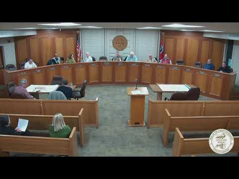
Bradley County commissioners approve amended urban growth boundary map, schedule March public hearings
Summary
County commissioners voted to adopt a negotiated third iteration of the county's urban growth boundary map and will present it at public hearings March 6 and March 13; the map reflects compromises on expansions near Hooper Gap, Eureka Road and other southern areas and accompanies a proposed interlocal agreement with nearby cities on annexation.
Bradley County commissioners adopted an amended urban growth boundary map and agreed to present it at public hearings scheduled for March 6 (4 p.m.) and March 13 (6 p.m.), county officials said.
The vote followed more than an hour of discussion about proposed expansions south of Cleveland, including areas around Hooper Gap, Eureka Road, Exit 20 and sections near Old Chattanooga Pike. Commissioners said the amended third iteration of the map reflects compromises reached in a recent meeting between county leaders and the mayors of nearby cities.
The map's adoption matters because it defines the county's urban growth boundary (UGB), a planning tool that guides which areas the city may seek to annex and where future infrastructure and services may be prioritized. County staff said the revised map will be part of an interlocal agreement among the county and the affected municipalities that clarifies annexation procedures and limits for areas outside the UGB.
Commissioners discussed several locality-specific concerns. Several members objected to expanding the boundary broadly along southern corridors, saying development pressure exists but questioning the timing of a large expansion after 15 years of a stable boundary. Commissioners and staff identified Hooper Gap and parts of Eureka Road as areas where the committee agreed to pull back or refine proposed boundaries after property-owner concerns and further review.
City staff and county planners clarified that annexation under state law requires property-owner initiation in many cases. As one city staff member put it during the meeting: "I just want to remind you that Cleveland, the city of Cleveland cannot go and annex property. It's the property owners who have to come and ask to be annexed." That point framed discussion of obligations tied to annexations, including the extension of sewer and road maintenance responsibilities.
On services, city representatives said most recent annexations had been provided full services or were in process of being connected. City staff told commissioners that two recently annexed areas on Dry Valley Road still lack full sewer service and that city utilities were working through those connections. City staff also said the city is evaluating requests to assume maintenance of certain roads when annexation makes practical sense, but staff said they try to avoid short, discontiguous segments of city-maintained roads.
Commissioners agreed that mayors and several county commissioners would meet to finalize a small set of boundary edits ahead of the March public hearings; the committee also agreed to present the compromise map at the hearings and to return to vote after the second hearing. One commissioner proposed an immediate, in-room map redraw; the commission recessed briefly and a smaller group prepared the revised lines before reconvening.
The final motion to accept the amended map generated recorded votes from commissioners. The tally announced in the meeting recorded nine yes votes, one no vote and one member absent; the chair said the result provided the necessary support to present the map at the upcoming public hearings. The commission emphasized the map could be amended further based on public input and that the interlocal agreement accompanying the map would document that municipalities would not attempt annexation beyond their agreed urban growth boundaries by referendum.
What happens next: the commission will present the amended map at public hearings March 6 and March 13. Depending on public comment, the commission may make additional revisions and then vote on what to forward to the legislative bodies for final approval.
Votes at a glance
- Motion: Accept the amended third iteration of the Bradley County urban growth boundary map for presentation at public hearings on March 6 and March 13 and to forward a recommended map to legislative bodies after public hearings. - Outcome: Approved (see formal vote record below).