Get Full Government Meeting Transcripts, Videos, & Alerts Forever!
Cal Waters adds Esri mapping and geo‑enrichment; long term effort to digitize legacy maps
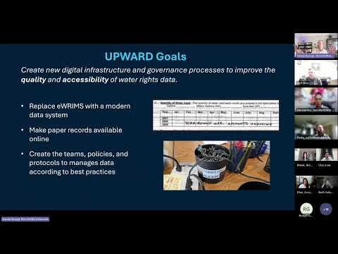
Summary
The Cal Waters demonstration showed a GIS interface (Esri) for plotting points of diversion and places of use, KML upload support and geo‑enrichment. Staff said many legacy place‑of‑use maps will need separate digitization work and that some map features will not be ready at day one.
Project staff demonstrated a built‑in Esri map widget that lets reporters plot points of diversion (PODs), upload geospatial files (KML and other formats) and associate plotted features with river segments, policies and metadata.
Jeff Parks showed a test GIS demo and said reporters can search by address, latitude/longitude, or by navigating the map. He demonstrated placing a POD point and said the system will pull in derived attributes—county, stream…
Already have an account? Log in
Subscribe to keep reading
Unlock the rest of this article — and every article on Citizen Portal.
- Unlimited articles
- AI-powered breakdowns of topics, speakers, decisions, and budgets
- Instant alerts when your location has a new meeting
- Follow topics and more locations
- 1,000 AI Insights / month, plus AI Chat