Get Full Government Meeting Transcripts, Videos, & Alerts Forever!
Get email alerts on the Shoreline Management topic
No spam. Unsubscribe anytime.
Ecology updates committee on SB5104 shoreline imagery and condition survey; data to be public by June 30, 2025
Summary
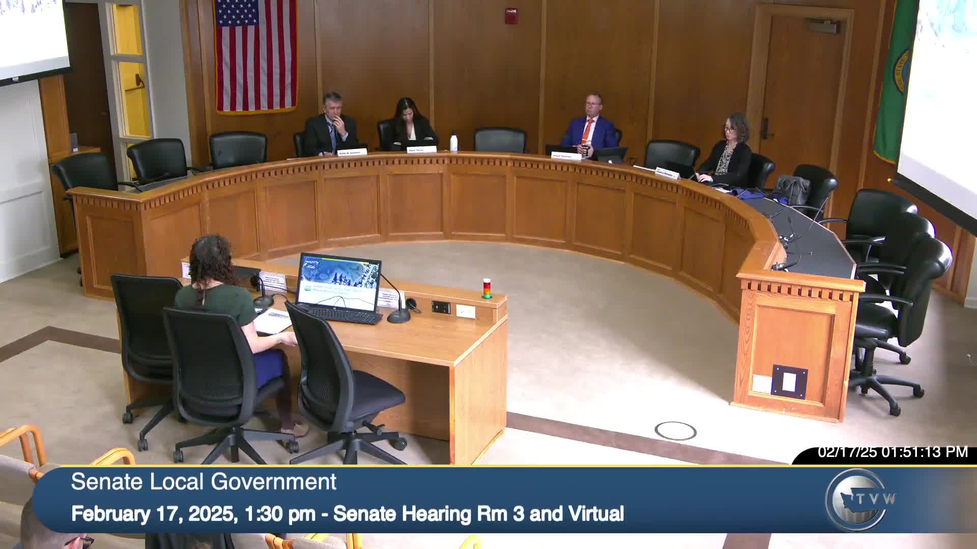
The Department of Ecology told the Local Government Committee it is building three datasets required by 2023’s SB5104 — 360‑degree on‑the‑water imagery, geo‑referenced oblique and vertical aerial photos, and a shoreline condition survey — and said the condition survey is scheduled for public release by June 30, 2025. Ecology staff cautioned that
The Department of Ecology presented an implementation update on Senate Bill 5104, the 2023 law directing Ecology to develop a publicly available baseline survey and mapping system for Puget Sound shoreline conditions.
Samantha Weinstein, policy manager for Ecology’s Shorelands and Environmental Assistance Program, described three datasets the agency is producing: (1) a 360‑degree “on the water” photographic viewer that lets users move along the coastline similar to a street‑view product; (2) geo‑referenced oblique shoreline photos (four look angles plus vertical) to reveal features obscured in vertical imagery; and (3) a shoreline condition survey that documents shoreline structures and their condition, including attributes such as material, armored toe elevation and whether an over‑water structure is present.
Ecology said it is producing hybrid reference lines that will delineate armored toes where shorelines have been modified and will approximate the ordinary high water mark where shorelines are unmodified; the agency will digitize, attribute and QA the lines prior to public release. Weinstein said vertical imagery is being collected to geo‑reference oblique photos even though vertical imagery was not required by the statute. Imagery will be updated every two years; Ecology staff said the program lost one anticipated field season because contracts and staff were signed at the end of an imagery window, pushing aerial collection into summer 2024.
Weinstein showed examples of where the three image views are complementary: water‑level imagery can show materials and condition; oblique imagery helps locate features when tree cover obscures the shore from vertical shots; vertical imagery provides coordinates for mapping. Ecology staff also described known challenges — variable data resolution across the sound, vegetation and shadowing on north‑facing bluffs, and limited historic imagery in some rural counties — and said additional field verification will occur before release.
Section 3 of SB5104 requires Ecology to maintain a record of civil or criminal investigations or enforcement actions that used SB5104 imagery; Ecology staff said they are discussing the best way to record and maintain that information and are coordinating across programs. The agency said it is not funded to build an integrated viewer for the condition survey in the current appropriation and may need additional resources to provide public‑facing change‑analysis tools. Ecology expects the shoreline condition survey to be available to the public by June 30, 2025.
Committee members asked about consultation with local governments, counties and federal agencies; Weinstein said Ecology’s implementation coordinates with local shoreline managers, other state agencies and federal partners and recommended additional outreach and coordination in future phases.
No committee action was taken; the presentation was technical and informational.