Get Full Government Meeting Transcripts, Videos, & Alerts Forever!
Oconee County Aeronautics Commission reviews airport zoning tools, elects officers for 2025
Summary
The commission heard a presentation on county and state mapping tools used to evaluate construction near the airport, including FAA review processes, then elected officers and approved meeting dates for 2025.
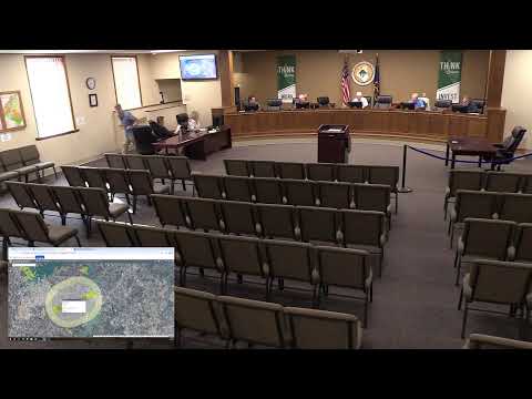
The Oconee County Aeronautics Commission on Jan. 30 heard a presentation from the county planning office on how to check zoning and safety overlays for construction near the county airport, and held routine housekeeping, electing officers and approving meeting dates for 2025.
James Coley, director of planning and zoning for Oconee County, demonstrated the county’s online GIS zoning maps and a state “Clue” tool that can run a height-and-obstruction compatibility analysis for specific parcel locations. Coley showed how the tools display airport overlay zones and said the tools produce a step-by-step report about whether a proposed structure is compatible with airport safety restrictions.
Coley told the commission the county’s GIS maps include an airport-zone layer and that the state…
Already have an account? Log in
Subscribe to keep reading
Unlock the rest of this article — and every article on Citizen Portal.
- Unlimited articles
- AI-powered breakdowns of topics, speakers, decisions, and budgets
- Instant alerts when your location has a new meeting
- Follow topics and more locations
- 1,000 AI Insights / month, plus AI Chat