Planning staff outlines new live-streaming, online maps and FEMA update; commissioners discuss outreach
Get AI-powered insights, summaries, and transcripts
Subscribe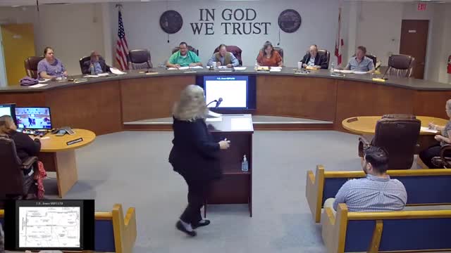
Summary
Washington County planning staff said the planning meetings are now being live-streamed and that interactive mapping links and FEMA flood data were added to the county website; staff said FEMA's more recent FIRM updates remain under review and could be adopted in 12-18 months.
Washington County planning staff briefed the Planning Commission on a soft launch of live-streaming for planning meetings, recent additions to the county website including interactive mapping links, and the status of FEMA flood-map updates. Commissioners discussed public awareness and possible outreach to make mapping and streaming more findable for residents and applicants.
"This is our first live meeting. We've already gone live, so we're streaming on the county's website," a planning staff member said, noting the county had added links to an interactive map maintained by the Emerald Coast Regional Council (ECRC) and to FEMA flood maps hosted by the Northwest Florida Water Management District.
Staff explained the county uses the ECRC-hosted interactive map to search by address or parcel ID and to support staff research for cases. Staff said the county's publicly available static maps and new links were posted the same day and that the interactive map had been updated with December cases by the county's GIS manager.
On the FEMA FIRM maps, planning staff said the best available county data remain the 2011 maps and that FEMA is updating its FIRM maps; staff said the new FEMA maps have not been adopted for county use yet but that FEMA's adoption could occur in roughly 12 to 18 months.
"Included in your package, we discussed last meeting the FEMA flood maps for the county being updated. As of now, the best available data we have is July 2011," planning staff told commissioners. Staff said the county engineer, who also serves as the county's floodplain manager, will notify the county when FEMA seeks adoption and that staff can provide parcel data to help keep FEMA's data set updated.
Commissioners and members of the public suggested methods to increase visibility, including placing interactive map links on the property appraiser's site, advertising on the county agenda and through local media, and using social media. A member of the public and a commissioner pointed out that many applicants and buyers rely on property appraiser maps and may not know to check planning department resources.
Staff also explained county constraints: the county does not maintain a full in-house GIS program and relies on third-party contractors and the ECRC for interactive mapping layers; local E911 and property appraiser office systems and consultants maintain other layers such as road-name updates.
Commissioners asked staff to continue outreach so that property owners and prospective buyers can find conservation and flood-zone information before purchasing property. Planning staff said they would work on improving discoverability and bringing an item to the county commission agenda about planning and zoning being live-streamed.