Get Full Government Meeting Transcripts, Videos, & Alerts Forever!
Get email alerts on the Zoning Map topic
No spam. Unsubscribe anytime.
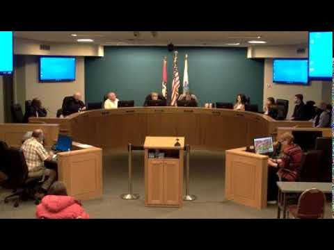
Planning commission approves corrections to Hot Springs official zoning map, sends ordinance amendment to board
Summary
The Hot Springs Planning Commission voted to adopt a staff-recommended amendment to Ordinance 6513 to correct 12 parcel designations on the city's official zoning map; the Board of Directors will consider final adoption next Tuesday with an effective date of March 1, 2025.
The Hot Springs City Planning Commission voted on a staff recommendation to amend Ordinance 6513 and update the city's official zoning map to correct parcel-designation errors and reflect recent zone changes.
The planning department's director, Rick Selman, told commissioners that "the city of Hot Springs has 23,279 parcels, individual parcels as of January first of this year," and that staff identified a small number of mismatches between the adopted map and intended zoning. "After adoption, 9 city parcels out of those 23,279 depicted on the official adopted zoning map were discovered to be inconsistent with the intended zoning designations," Selman said.
Why this matters: the amendment corrects map errors and brings the official map into alignment with actions taken since the ordinance's November adoption. Updating the exhibit before the new zoning code's effective date is intended to reduce nonconformities and ensure the official map matches past decisions.
Key facts: Selman told the commission staff identified nine parcels that were mapped incorrectly (five that resolved historically split zones, two that were left unzoned, and two that were painted the wrong color) and three additional parcels that need updating to reflect zone changes approved after the November adoption. In total, the amendment would change 12 parcels on the map. The staff recommendation was to adopt an ordinance amending Ordinance 6513 by replacing Exhibit B (the official zoning map) with a revised map dated February 13, 2025, with the amendment timed to be effective March 1, 2025'the same effective date for the new zoning code.
Public comment: No members of the public signed up to speak on the item, and the public hearing was closed before the commission voted.
Commission action and vote: The commission moved to approve the item "with the staff findings and recommendations." The roll call recorded the following votes: Sharma ' approve; Scott ' approve; Pierkey ' approve; Collier ' approve; Lamont ' approve; Davis ' approve; Walker ' approve; Campbell ' approve; Stafford ' approve. The tally was nine votes in favor; the motion passed.
Next steps: Director Selman said the Board of Directors will consider the ordinance amendment at its next meeting and take final action there. Selman also noted the change is timed so the corrected map will be in place when the new zoning code takes effect on March 1, 2025.
Commission context: Commissioners and staff characterized the changes as cleanup rather than policy shifts. Selman and other staff described the edits as routine corrections that can occur after a large remapping effort; he thanked staff members who reviewed parcel-by-parcel and identified the errors.
Ending: With the commission's recommendation, the corrected Exhibit B will be forwarded for final consideration by the Board of Directors next Tuesday; if the board adopts it, the revised map will become effective with the new zoning code on March 1, 2025.