Get Full Government Meeting Transcripts, Videos, & Alerts Forever!
Get email alerts on the Neighborhood Residential topic
No spam. Unsubscribe anytime.
Council reviews draft neighborhood-residential map and dimensional standards; debate over boundaries and impacts
Summary
Ennis Associates and city planners presented a revised draft that consolidates neighborhood residential subdistricts (NR1–NR3) and an urban residential category; councillors and residents raised concerns about potential downzoning in some areas and asked for parcel-level tables and clearer visuals of current vs. proposed conditions.
The Medford City Council Planning and Permanent Committee took a second look at a draft neighborhood residential zoning proposal on Jan. 29, reviewing a revised map and dimensional standards that would create three neighborhood residential categories (NR1, NR2, NR3) plus an urban residential category to guide future development and conversions.
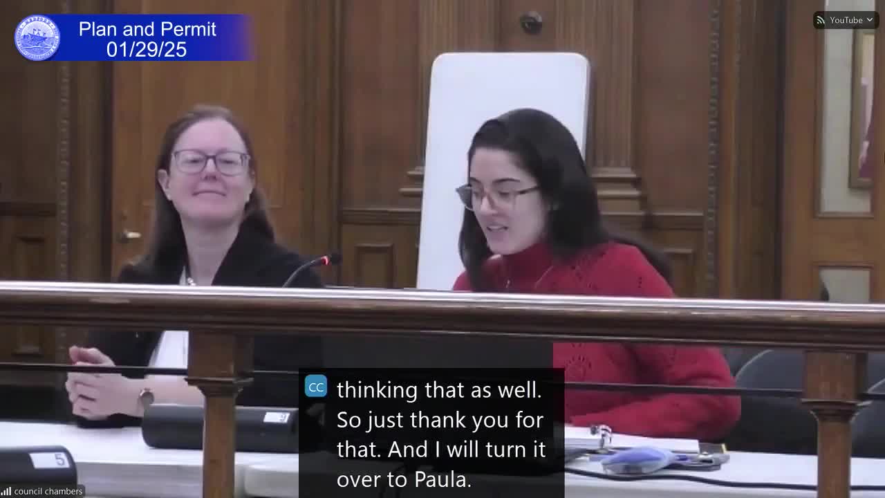
Paola (presenter, Innis Associates) described the draft as an effort to align zoning with the 2023 comprehensive plan and the city’s Climate Action and Adaptation Plan (April 2022). The consultants overlaid current building typologies (single-family, two-family, conversions, three-family, small multiunit and 9+ units) on the proposed subdistrict boundaries to avoid “unintentionally downgrading the existing density in some areas,” she said.
The proposal’s core elements: NR1 would permit single-unit dwellings plus accessory dwelling units (ADUs) and historic conversions to two units; NR2 would permit single-unit dwellings plus ADUs and two-unit dwellings and some historic conversions to two or three units; NR3 would allow single-unit dwellings with ADUs, two- and three-unit dwellings, townhouses and historic conversions up to four units. Urban residential categories would accommodate larger multiunit buildings in higher-density corridors and near transit.
Key dimensional and program details presented in the meeting materials included:
- Minimum lot sizes proposed: NR1 = 5,000 sq ft; NR2 = 4,000 sq ft; NR3 = 3,000 sq ft. - Maximum stories: NR1 and NR2 = 2.5 stories; NR3 = 3 stories. - Minimum front setbacks: NR1/NR2 = 15 ft; NR3 = 10 ft. - Typical maximum building coverage shown: 40%; minimum open space: NR1 = 40%, NR2 = 30%, NR3 = 20%. - Historic conversion definition: structures at least 70 years old, originally designed for a single unit, converted with no exterior change and separate entrances; goal is to preserve historic character while allowing modest increases in units. - ADU guidance: maximum size 900 sq ft or 50% of the principal structure; parking 0 if proximate to qualifying public transit, otherwise 1 per ADU (subject to state ADU legislation coming into effect in February).
Councilors and residents focused on the map’s parcel-level effects and whether parts of the city could be inadvertently downzoned. Councilor Scarpelli warned of neighborhood backlash where residents believe the process will allow “three family homes” in traditionally single-family areas; Vice President Collins and President Bares both emphasized the need to match the zoning to what is already built on the ground and to show clear comparisons of “old zoning / existing built / proposed zoning” in simple diagrams.
Several councilors asked the consultants to revisit specific boundaries. Councilor Callaghan and others asked that the far northern portion of West Medford (the Grove Street / Sagamore Ave area) be re-examined and possibly shifted from NR2 back to NR1 because current lots and building types there are predominantly single-family. The committee did not vote on any map changes at the meeting; consultant staff said the draft remains iterative and that they will return with revised maps and further work on urban residential categories.
Public commenters urged a single, easily findable location for the latest draft materials and asked the committee to publish parcel-level data showing the maximum practical change per lot under the proposal. Land-use attorney Michael Burrell and other speakers urged that the dimensional standards be set to minimize the need for variances or extra administrative steps for property owners.
Next steps: The committee plans further meetings on the residential package (urban residential will be discussed at upcoming meetings), a neighborhood mapping workshop and at least one in-person public meeting where large-format maps can be displayed. The consultants said PDFs for the current draft are available as attachments in the council’s public portal for residents to download and examine in detail.
No ordinance or vote on the draft zoning changes was taken at the Jan. 29 meeting.