Get Full Government Meeting Transcripts, Videos, & Alerts Forever!
Lake County GPAC reviews draft land-use map, looks to updated CAL FIRE and FEMA hazard layers
Summary
PlaceWorks and county staff walked the General Plan Advisory Committee through draft general-plan land-use changes from eight local advisory groups and flagged new CAL FIRE and FEMA hazard layers, plus a proposed 20-foot riparian buffer for Clear Lake tributaries.
PlaceWorks consultants and Lake County planning staff briefed the General Plan Advisory Committee (GPAC) on a draft countywide general plan land-use map that compiles recommendations from eight Local Area Plan Advisory Committees (LAPACs) and includes new hazard layers from CAL FIRE and FEMA.
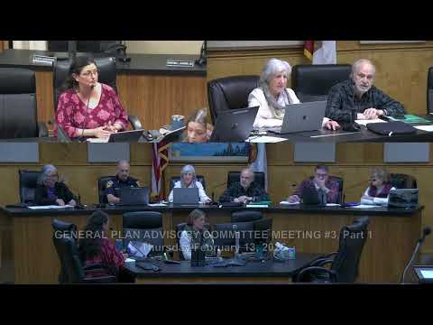
The GPAC meeting began with an overview from Mireya Turner, Community Development Director, and Tanya Sundberg, principal at PlaceWorks, who said the map viewer shows parcels the LAPACs recommended for land‑use designation changes and that the team will use the map as the basis for environmental review. "The web map viewer includes the recommended general plan land use map changes from the LAPACs, and those are the focus of our discussion today," Sundberg said.
The nut graf: the committee was…
Already have an account? Log in
Subscribe to keep reading
Unlock the rest of this article — and every article on Citizen Portal.
- Unlimited articles
- AI-powered breakdowns of topics, speakers, decisions, and budgets
- Instant alerts when your location has a new meeting
- Follow topics and more locations
- 1,000 AI Insights / month, plus AI Chat