Get Full Government Meeting Transcripts, Videos, & Alerts Forever!
Get email alerts on the General Plan topic
No spam. Unsubscribe anytime.
Livingston planning commissioners ask staff for revised hybrid map as general-plan study session ends
Summary
At a Feb. 11 study session, consultants presented three land-use alternatives for Livingston’s general plan update; commissioners and members of the public urged a hybrid approach favoring expansion plus mixed-use downtown, and asked staff and consultants to return with a revised map showing specific parcels requested for inclusion.
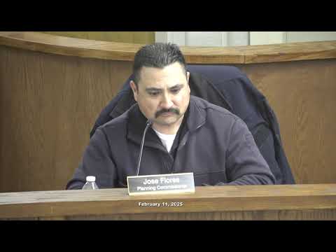
Consultants presented three land-use alternatives for Livingston’s general-plan update at the Planning Commission’s Feb. 11 study session, and commission members asked staff to prepare a revised, hybrid preferred land-use map that incorporates public input and specific parcel requests.
The presentation by Miguel Galvez, contract planner with JBL Anderson Land Use Planning, and Minteer Harnish consultants laid out three scenarios: a no-change baseline; an infill-focused alternative that emphasizes downtown mixed use and higher multifamily capacity; and an expansion alternative that would annex additional land at the city’s edge for housing and jobs. "This evening we arrive at a significant milestone on the general plan update process," Miguel Galvez said as the session opened. "This has been a long journey on the general plan update process." Michael Gibbons, project manager for Minteer Harnish, described the alternatives as "what if" scenarios used to test capacity, circulation and infrastructure impacts.
Why it matters: the choice of a preferred land-use alternative sets the map that will drive later environmental review, zoning consistency updates and infrastructure planning. Commissioners repeatedly emphasized the need for a hybrid that balances housing supply, downtown revitalization and protection of agricultural resources. John Anderson of JB Anderson Land Use Planning told commissioners the update must account for water and circulation constraints and noted prior court rulings that overturned an earlier, more aggressive growth plan.
Infill vs. expansion: Alternative 2 (infill) focuses on vacant and underused parcels inside the city and adds a new downtown mixed-use designation; the consultants estimated a significant percentage increase in multifamily units under that scenario. Alternative 3 (expansion) would enlarge the city’s buildable area and — if adopted for specific sites — require additional infrastructure such as water and sewer lines. The consultants said Alternative 3 produced the highest projected housing and job capacity in their modeling.
Public input and property owner requests influenced the discussion. Several property owners and a Keller Williams representative identified parcels they want considered for annexation or change of designation; two parcel numbers were read into the record for properties near Peach Avenue (APNs 047280006 and 047280007), described in public comment as roughly 48.2 acres and 19.1 acres. A property owner who identified himself as Noor (surname recorded in the staff report) asked that multiple parcels (reported in the hearing as about 40 acres, 67 acres and a separate 50-acre parcel) be shown on the map and considered for residential development.
Commission direction: Commissioners indicated broad support for Alternative 3’s capacity but also for downtown mixed use (the density-and-mixed-use elements of Alternative 2). Several commissioners called for a hybrid: expanded growth in selected focus areas plus a downtown designation that allows residential over commercial. Vice Chair Renee Mendonca and others urged preserving water- and hazard-related limits in any preferred alternative. The commission asked staff and consultants to produce a revised map that incorporates the evening’s comments, including parcel boundaries supplied by property owners, and to recirculate the updated build-out and population projections before recommending a preferred alternative to City Council.
Staff next steps: Consultants said they can produce a revised map and new build-out numbers, but asked property owners to submit APNs or parcel maps to staff so the changes can be applied accurately. Staff indicated the revised map would be scheduled for a future planning-commission hearing (staff suggested April–May as likely dates) and that the preferred alternative returned to the commission would form the basis for the plan chapters and environmental review.
Commissioners and consultants reiterated that the preferred alternative is advisory: City Council will later consider and act on the general plan and any amendments to the sphere of influence. John Anderson reminded commissioners that requests to enlarge a sphere of influence would ultimately go to the Local Agency Formation Commission for approval. The commission closed the public hearing portion of the study session and asked staff to return with a revised, hybrid map reflecting tonight’s guidance.