Get Full Government Meeting Transcripts, Videos, & Alerts Forever!
Get email alerts on the Stream Gauges Water Monitoring topic
No spam. Unsubscribe anytime.
Senate bill would reaffirm state support for stream-gauge network used for irrigation, flood and recreation planning
Summary
Senate Bill 55 would codify legislative intent to maintain a coordinated stream-gauge network; sponsors and water stakeholders said gauges provide real-time data used by irrigators, water commissioners, recreationists and emergency managers, and that consistent funding and coordination are needed as federal and partner funding fluctuate.
HELENA — Senate Bill 55, carried by Sen. Willis Curdy, would clarify legislative intent and formally commit Montana to maintaining a coordinated stream-gauge system that provides real-time flow and related data used for irrigation management, flood forecasting and recreation.
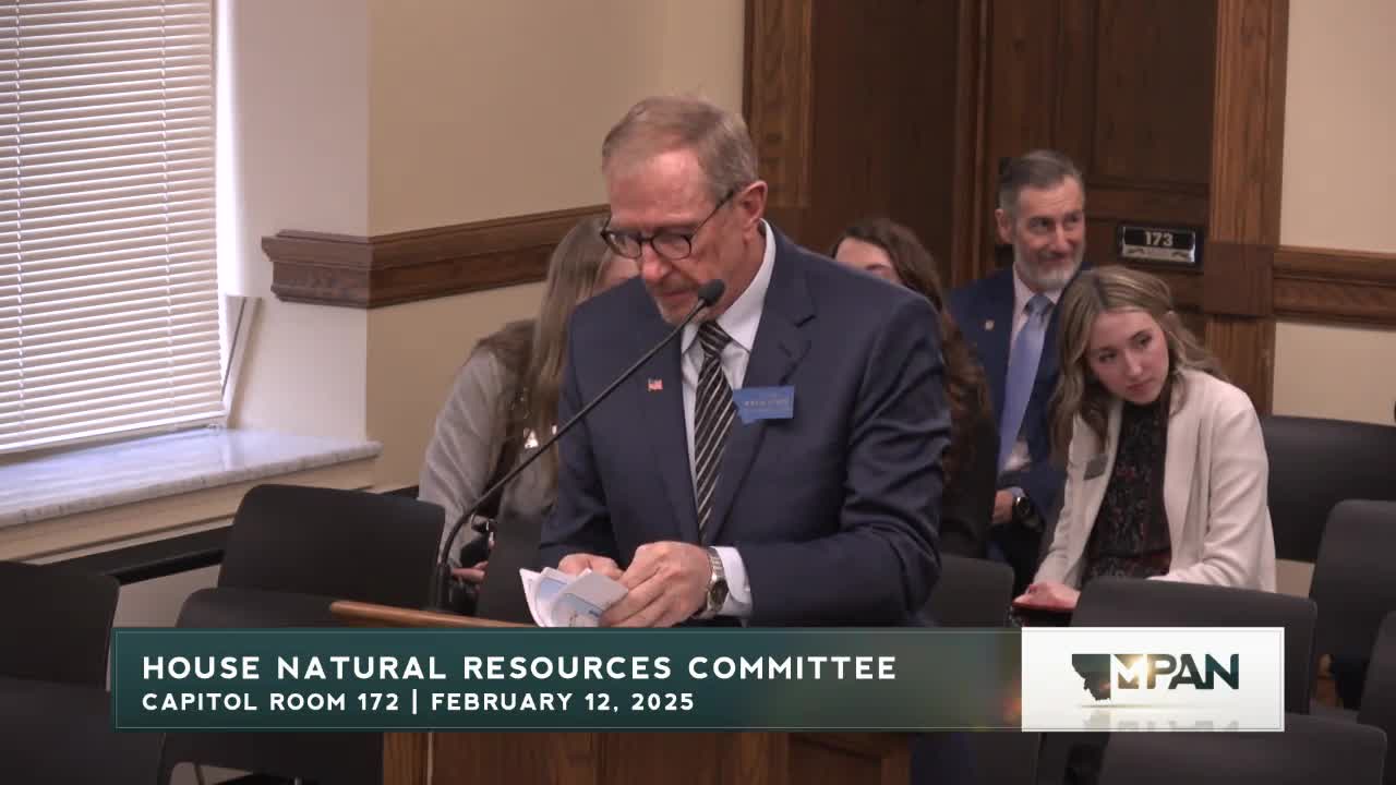
Curdy told the House Natural Resources Committee the state’s stream-gauge system — operated by the U.S. Geological Survey (USGS), the DNRC and tribal entities — is critical to water supply operations for irrigation and reservoirs, and to emergency planning for floods and drought. He cited recent examples in which restored gauges improved forecasting during high-runoff events and supported water-operations decisions.
Clayton Elliott and other proponents described three broad categories of gauges: USGS federal-priority gauges, cooperative-share gauges funded by mixes of federal and nonfederal partners, and wholly state-funded DNRC gauges. The DNRC’s Jacob Moorman, Water Sciences Bureau Chief, testified as an informational witness and provided per-gauge cost estimates: roughly $20,000 annually to operate a USGS gauge (with partners typically costsharing a portion) and about $12,000 annually to operate a DNRC gauge when program costs are allocated across sites.
Proponents emphasized the network effect: gauges are most useful as an integrated system, and shutting individual sites risks losing long-term data series that underpin forecasts and models. Witnesses said recent federal flat funding and inflation pressure have caused USGS to reduce its gauge network and that cooperative partners often must raise local funds to sustain priority gauges. Senate Bill 55 does not itself appropriate money but restates legislative intent and supports coordination; committee members were told cooperative-share and DNRC gauge funding requests will appear in the department’s budget requests.
Committee members asked technical and geographical questions about proposed sites, network duplication and public access to gauge data. Moorman said the DNRC hosts real-time data publicly (DNRC “Stage” interface) and that proposed sites on the map reflect nominations gathered from stakeholders; the department previously requested and received funding for additional sites and received hundreds of nominations for more.
Ending: The sponsor asked for a do pass; public testimony and informational answers supported the bill as a coordination and intent statement while funding decisions remain subject to the budgeting process.