Get Full Government Meeting Transcripts, Videos, & Alerts Forever!
Get email alerts on the Housing Development East 105 topic
No spam. Unsubscribe anytime.
Council committee approves zoning and land sale to advance East 105 Street housing project
Summary
A committee approved a map change and an emergency ordinance to transfer city and land-bank parcels to NRP Group for a 70-unit low-income housing development on East 105 Street and Churchill Avenue, clearing key steps for the project known as The Davis.
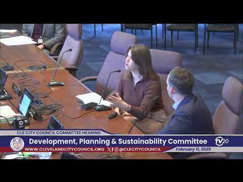
A Cleveland council committee approved a zoning map change and an emergency ordinance to transfer city-owned and land-bank parcels to the NRP Group for a proposed 70-unit low-income multifamily building near East 105 Street and Churchill Avenue.
The action included approval of a map change (map change 2687) and an ordinance authorizing the mayor to sell the parcels to NRP or its designee for residential development. Scott Skinner and Shannon Leonard, the chief zoning administrator, told the committee the change aligns zoning with the previously approved Phase 1 and is necessary for Phase 2 to move forward.
The project, rebranded as "The Davis" to honor the former Harry E. Davis School, would place the new building on the former school site. Carolyn from NRP described Phase 1 as a 52-unit building with 30–60% area median income (AMI) units, townhomes at the front, parking in the rear and about 3,000 square feet of commercial space used by University Hospitals; Phase 2 would add about 70 low-income housing units with accessible parking spaces.
Shannon Leonard said the map change is intended "to promote walkability and support a diversity of housing typologies, in alignment with our Connecting 2020 plan," and explained the technical need: consolidating lots had created a split-zoning situation that would otherwise limit the project to two-family development. The committee also approved adding a five-foot map-specific setback to bring the site into compliance with the street frontage established by Phase 1.
Committee members asked few questions and voiced support. The clerk recorded that Order 1203-2024 (map change) and Ordinance 990-2024 (sale to NRP Group) "stand approved." The ordinance was described as an emergency measure authorizing sale of city and land-bank parcels "no longer needed for the city's public use." No vote tally was read into the record in the committee transcript.
The developer and staff said existing design approvals and low-income housing tax credit awards supported the project’s feasibility, but they also clarified that critical technical zoning changes were required for Phase 2 to conform with urban form overlay rules applied earlier to Phase 1. The transfer and zoning change together are necessary steps before final development agreements and construction permits can proceed.
No public commenters signed in during the committee hearing. The committee closed the public-comment period before questions and proceeded to unanimous-sounding committee approval recorded on the transcript.
Next steps noted in the meeting: final plat/parcel consolidation and compliance with the five-foot mapped setback for the Phase 2 parcel; any developer agreements, funding and building permits will follow after the transfer and zoning ordinance become final.