Get Full Government Meeting Transcripts, Videos, & Alerts Forever!
Get email alerts on the Land Development topic
No spam. Unsubscribe anytime.
Commission backs Laurel Preserve rezoning for rural water amid historic‑site, road and drainage concerns
Summary
The commission recommended converting 186.59 acres at Laurel Preserve (Lands of Otto Gottlieb) from NPS to RW (rural water) to serve 61 single‑family lots, while several residents raised concerns about a possible historic Chapel of Ease, well siting, road access and stormwater management.
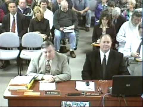
The Planning Commission voted Jan. 22 to recommend that the Board of County Commissioners amend service area map 3‑19 to change 186.59 acres at the Laurel Preserve (lands of Otto Gottlieb) from no planned service (NPS) to rural water (RW) for service to 61 single‑family lots.
Planning staff said the applicant provided preliminary designs and cost estimates and that the proposed water system would draw from the Patapsco/Capisic (described as Capisco in the staff presentation) aquifer; wastewater would be handled by individual septic systems. The application underwent Technical Evaluation Committee review and, according to staff, neither the Health Department nor the Metropolitan Commission objected to community water service to the site.
At the public hearing, residents raised several issues. Daphne McGuire and others alerted the commission to an area identified on county inventory maps as SM‑167 and suggested additional historic resources—possibly a Chapel of Ease and burial area—may be present on the peninsula shown on the plan. William (Billy) Higgs, the applicant’s surveyor, said the developer intends to place that inventory site and adjacent resource areas into preserved open space and would not grade or place fill over the documented area.
Residents also questioned well siting and groundwater behaviour in the sandy soils, run‑off and stormwater management, and the width and safety of Laurel Grove Road. The applicant said perc tests for 61 lots were performed during a wet season (Feb. 2006) and returned satisfactory results, that the central well would be drilled to a deeper aquifer than many adjacent wells, and that stormwater measures and road improvements would be designed during preliminary subdivision engineering.
Commissioners closed the record after receiving public testimony and voted to recommend the RW designation; Commissioner Evans moved the recommendation and Commissioner Chase seconded. The motion passed with all in favor.
Staff noted that when the plan returns as a preliminary subdivision it will need to include formal stormwater designs, traffic/road improvements and any agreements necessary to protect identified historic resources.