Get Full Government Meeting Transcripts, Videos, & Alerts Forever!
Get email alerts on the Land Use Zoning topic
No spam. Unsubscribe anytime.
Planning staff outlines proposed future land‑use map changes to meet state housing targets
Summary
Staff presented parcel‑specific changes to Coupeville’s future land use map—low→medium at Vine & Codeland, medium→high on South Main, and a rural‑reserve boundary shift where sewer now exists—to address state planning obligations and housing capacity shortfalls.
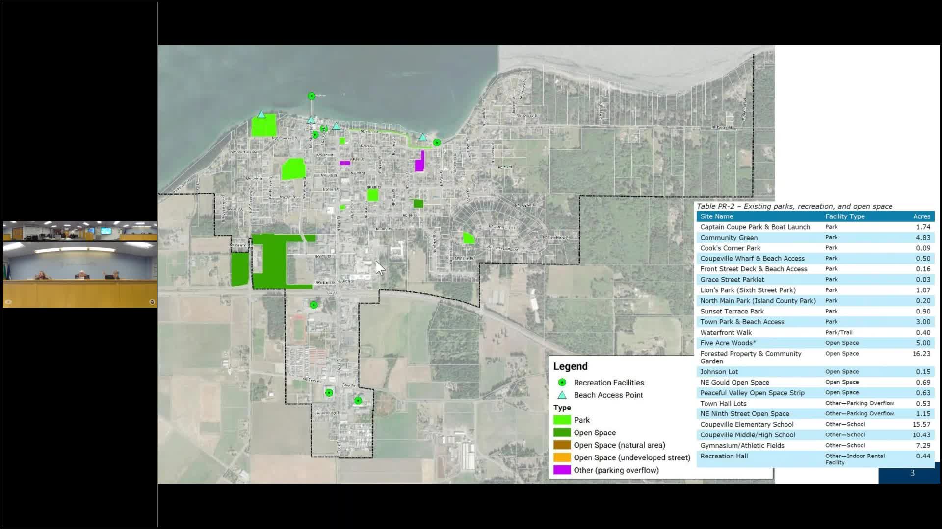
Planning staff presented a map of proposed future land‑use changes and the math behind Coupeville’s housing capacity obligations under Washington State law at the Jan. 21 Planning Commission meeting.
Staff said the town must plan for roughly 350 dwellings across income categories as part of countywide planning coordination; the state now requires capacity to be shown by income category. The draft map proposes three major, parcel‑specific changes: reclassifying a parcel at Vine and Codeland from low‑density to medium‑density residential, redesignating a landlocked parcel behind South Main Street from medium‑density to high‑density residential, and moving the rural‑reserve overlay where sewer has been extended so some parcels adjacent to sewer could be eligible for low‑density zoning instead of rural reserve.
Josh, the planning staff member, explained the differences in minimum lot sizes and coverage that underlie the conversions: staff said medium density has a minimum lot size of about 0.22 acres (roughly a quarter acre) while low density is about 0.5 acre; high‑density residential was described as having higher lot‑coverage allowances (staff cited roughly 70% lot coverage for high density versus 35% for medium density) and a minimum lot size of about 9,600 square feet.
Staff showed capacity calculations comparing current zoning capacity to proposed capacity after the map changes. The presentation noted that accessory dwelling units and middle housing contribute to meeting targets but that the town still has a deficit in lower‑income dwelling capacity under the state methodology. Staff said the changes reduce the town’s deficit in certain income bands but do not eliminate the need for additional strategies such as partnerships with nonprofit developers.
Public commenters and commissioners raised preservation concerns. Susan McClellan noted that a historic 1893 house on South Main is adjacent to the parcel proposed for high‑density designation and asked how the historic home’s integrity would be protected; staff said historic review and the Certificate of Appropriateness process would address design and adjacency issues in coordination with Eastside National Historical Reserve guidelines and Island County staff.
Staff emphasized that future‑land‑use map designations do not by themselves change the zoning regulations or development standards; they signal potential future capacity. Any redevelopment would still need to resolve site access, easements and utility connections during permitting and subdivision review.
The commission did not vote on the map. Staff will publish the draft materials for comment and return with refinements and documentation of capacity calculations.