Get Full Government Meeting Transcripts, Videos, & Alerts Forever!
Get email alerts on the Flood Resilience And Infrastructure topic
No spam. Unsubscribe anytime.
Cambridge resiliency project seeks county tie‑in; residents raise concerns about berm heights and property impacts
Summary
City of Cambridge engineers presented a 30% design concept for a hybrid embankment and living-shoreline flood-mitigation project that would tie into Dorchester County at Pigg—9s Pond; residents and council members pressed for more local outreach and asked how proposed elevations and road-raising would affect yards and views.
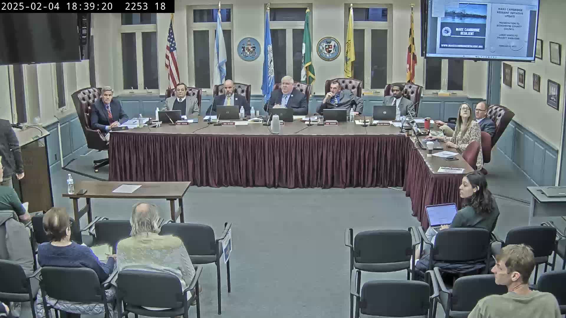
Cambridge — City of Cambridge officials presented a concept design for a flood-mitigation project that combines a raised embankment with a living shoreline and asked Dorchester County for permission to pursue a tie-in near Pigg's Pond during a council meeting Feb. 4.
The city engineer, Bucky Jackson, introduced Larry White, the project manager for Cambridge's resiliency initiative, who reviewed planning and design details and said the project is at about 30% design. "We're going to talk about phase 1 design. That's where we are right now," White said. He described the concept as a hybrid: an engineered embankment with a living-shoreline system on the water side designed to provide flood protection while preserving habitat benefits.
White said the team is designing the alignment to reach an elevation of 7 feet above sea level at the county tie-in and that local variations would mean wall and berm heights will vary. He described modeling work with the University of Maryland to couple sediment-transport and hydrodynamic studies with fish-habitat modeling, and announced a $2,200,000 National Fish and Wildlife Foundation grant to enhance the living shoreline and convert part of Jerry Boyle Park into a stormwater management facility.
Residents and several council members asked detailed questions about how the project would affect privately owned waterfront property and local roads. Concerns centered on the height of embankments, road-raising on Hamburg Boulevard and how much of Jerry Boyle Park would be used for event parking versus temporary storm storage. One resident asked, "How high are you talking about building a berm?" A project presenter replied that embankment heights in some locations would be about 3 to 4 feet and that the project team has completed geotechnical borings in a few locations but would seek additional access to private properties for further borings.
Council members and residents pressed White and Jackson to conduct additional outreach with county property owners before the county gave any formal approval. Council members said they would not make a decision at the meeting; the city asked only for permission to advance a tie-in study and to continue design conversations. "With your approval, then we're gonna go talk to them. That's the strategy here," White said when asked whether the city would seek property access for borings in the county.
The presentation explained that design choices aim to accommodate overtopping in extreme scenarios and to blend hard engineering with ecological features commonly called a "horizontal levee" or living levee. City staff noted regulatory engagement with the Maryland Department of the Environment and the U.S. Army Corps of Engineers will be required and that a stakeholder steering committee including county department managers is planned.
Council members asked the city to return after further outreach and to coordinate a county steering-committee representative for the design process.