Get Full Government Meeting Transcripts, Videos, & Alerts Forever!
Broward County unveils vulnerability assessment, estimates $20–28 billion for countywide adaptation
Summary
Broward County leaders on Thursday heard a county presentation of a multi‑year vulnerability assessment and adaptation plan that models how sea‑level rise, heavier rainfalls and increasing heat will affect the county and estimates the cost to adapt at between roughly $20.1 billion (Tier 1) and $28 billion (Tier 2).
Broward County leaders on Thursday heard a county presentation of a multi‑year vulnerability assessment and adaptation plan that models how sea‑level rise, heavier rainfalls and increasing heat will affect the county and estimates the cost to adapt at between roughly $20.1 billion (Tier 1) and $28 billion (Tier 2).
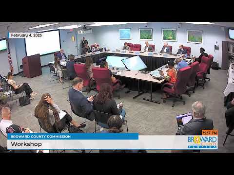
The report, presented by Dr. Monica Harada of the county’s resilience team, maps flood and heat exposures, projects economic losses under no‑action scenarios, and models the effects of two tiers of adaptation projects. “This is essentially our blueprint,” Mayor Fuhr said as the presentation opened.
Why it matters: the study ties technical flood modeling to economic metrics and shows that, without adaptation, average annual exposures and damages rise sharply; with modeled Tier 2 investments the team estimates large reductions in damage and preservation of property value. The work is intended to guide county and municipal priorities, funding requests and public‑private coordination.
Key findings and scope
Dr. Harada told commissioners the team used scenario‑based modeling that combines sea level rise, storm surge, saturated groundwater and intensified rainfall in 81 compound scenarios. She said the county has seen a regional sea‑level rise of “5 to 7 inches only since 2010,” and that the county is using the NOAA intermediate high curve as a planning basis. The study modeled a 2‑foot scenario (mid‑century / 2050) and a 3‑foot scenario (circa 2070) and found that extreme events similar to the April 2023 floods can already occur under present conditions.
The team organized proposed projects into Tier 1 (2‑foot planning) and Tier 2 (3‑foot planning). Dr. Harada summarized modeled outcomes: Tier 2 investments “are modeled to reduce damages by 83% countywide,” and the full Tier 2 portfolio was estimated to mitigate as much as $4 billion in modeled property damages for the scenario shown. The report also estimated that Tier 2 implementation could preserve tens of billions of dollars in property value and protect…
Already have an account? Log in
Subscribe to keep reading
Unlock the rest of this article — and every article on Citizen Portal.
- Unlimited articles
- AI-powered breakdowns of topics, speakers, decisions, and budgets
- Instant alerts when your location has a new meeting
- Follow topics and more locations
- 1,000 AI Insights / month, plus AI Chat