Get Full Government Meeting Transcripts, Videos, & Alerts Forever!
Get email alerts on the Land Use topic
No spam. Unsubscribe anytime.
Commissioners rezoned 75‑acre Lost Mountain parcel to Commercial Forest
Summary
The board approved ordinance PRZN2024‑00001 to change about 75 acres from R‑20 (rural very low) to Commercial Forest to reduce residential development potential and align the parcel with surrounding state timberlands.
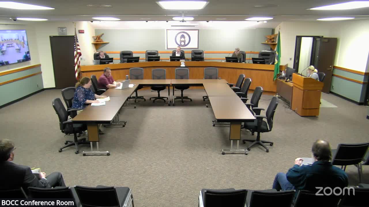
The Clallam County Board of Commissioners on Jan. 28 unanimously approved Ordinance PRZN2024‑00001, rezoning an approximately 75‑acre parcel at the top of Lost Mountain Road from Rural Very Low (R‑20) to Commercial Forest (CF).
Donna Laplage, principal planner in the county Department of Community Development, presented the staff report and the planning commission’s recommendation. "We received just this 1 application to rezone 75 acres, from the rural very low R‑20 zone to commercial forest zone, CF," Laplage said, and added that the planning commission voted 4–1 to recommend approval. The staff analysis found the parcel meets six of eight criteria for CF designation and noted the property is surrounded on three sides by state timberlands.
Under the R‑20 rules the parcel could have been divided into up to three residential lots; the CF designation will reduce residential development potential and prioritize forest resource management, staff said. Laplage told commissioners the parcel contains about 40 acres enrolled in timber taxation, a single‑family residence, a pond and an associated wetland.
Public comment at the hearing included a resident who stressed private property rights but urged the county to consider affordable housing needs during its comprehensive plan update. "I believe in private property rights and I believe this land owner has every right in every aspect to use their land as they see fit," said Ed Belvos (public comment), while also warning that rezoning similar parcels could remove future housing options.
Commissioners discussed the application and the planning analysis. One commissioner said the request "makes a lot of sense" given the parcel’s size and surroundings; another said the county must balance forest preservation with housing needs but supported this application based on staff and planning commission findings. The motion to adopt the ordinance carried unanimously.
The county will implement the change by recording the ordinance and updating the county comprehensive plan map and zoning map. Department of Community Development staff said they will file the ordinance and revise the zoning maps as required.