Get Full Government Meeting Transcripts, Videos, & Alerts Forever!
Get email alerts on the Conservation Open Space topic
No spam. Unsubscribe anytime.
Landowners outline riverfront conservation plan tied to UDOT trail funding
Summary
A landowner and agents discussed a preliminary proposal to conserve riparian land along the Black Fork River and to pair a UDOT-funded trail with a conservation easement; the proposal is early-stage and would require appraisals and coordination with neighboring owners and agencies.
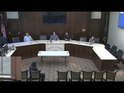
Kathleen Alder, a trustee of the South Alder Farm property, told the Cache County Conservation Open Space Advisory Committee that she is exploring conserving a riparian corridor along the Black Fork River and pairing that conservation with a Utah Department of Transportation (UDOT) trail project.
Alder said the work is preliminary but described a proposal that would use public trail construction funding while the landowner would pursue conservation easements and appraisals to determine how much land to preserve. “And so, with this UDOT grant, it's $4,000,000 that will go along there,” Alder said.
Why it matters: the parcel covers river corridor and wetlands the speakers said are within the 100-year floodplain; committee members and the applicant said conservation could both protect habitat and help the developer meet floodplain mitigation requirements while adding public trail access.
The nut graf: The committee heard an initial concept where UDOT would fund construction of a trail but not land acquisition; the landowner and her agent asked for guidance on whether to apply as a typical open-space conservation application or as a trails application that would include a corridor wide enough to contain a trail plus riparian conservation. The landowner and nearby property owners indicated interest in coordinating a multi-owner conservation package.
Details and discussion
Brandon (county staff) introduced the parcel to the committee as a riparian property adjacent to the Black Fork River and said the matter was submitted close to the meeting date, so the presentation was intended as an early-stage discussion. Alder said the holding extends across the river in places, and that neighboring owners — including the owner of the “Blackstone” property and a landowner named Roger Dally — are “totally on board” with preserving riverfront on both sides.
Alder and her agent, Alex Barronson, described a conceptual corridor that could be “maybe potentially 100 feet wide” or could encompass the entire river corridor and riverbank. Barronson said the land contains wetlands that will need mitigation and that the applicant envisions open public access: “Our goal and vision is to put a trail system along that river so that people can actually access it and enjoy it.”
County staff clarified the likely funding split: according to committee discussion, UDOT will fund construction of the trail but does not pay for land acquisition. One county staff member summarized this: “UDOT pays for construction. They don't pay for land acquisition.” Committee members highlighted that if the project seeks a wider corridor (beyond a narrow trail easement), additional funding sources such as NRCS or other conservation funding may be required.
Participants discussed logistics the applicant will need to resolve before submitting a formal packet: a conservation-specific appraisal, clarity on corridor width and ownership boundaries (Alder said she has an appraisal ordered), and coordination with neighboring owners if the proposal becomes a group application. Alder said she will return with an appraisal and a proposed delineation of what would be conserved and where the trail would sit inside that corridor.
What was not decided
The committee did not take formal action. Members and staff noted the application was preliminary and that more information is needed: a conservation appraisal (county staff named Jeremy Christiansen as a state contact for appraisal questions), final corridor width, confirmation whether the easement would be executed per landowner, and whether other funding sources would be pursued for acquisition costs.
Next steps and caveats
Alder said she would obtain a conservation appraisal and return with a formal application packet. Staff advised applicants that conservation appraisals can differ from market appraisals and that if federal or NRCS funding or swaps are proposed, additional specialists or conservation partners might be required. The committee said it would be receptive to a group submission if multiple landowners coordinate and provide the necessary documentation.
Quote highlights
“Kathleen Alder, trustee for this property, said: ‘And so, with this UDOT grant, it's $4,000,000 that will go along there.’”
“County staff: ‘UDOT pays for construction. They don't pay for land acquisition.’”
Ending
Committee members described the presentation as a useful early briefing. Alder and her agent said they will arrange appraisals and follow up with staff on next steps; staff asked applicants to consider whether to apply as an open-space conservation application or a trails/corridor application depending on the final corridor width and intended uses.