Get Full Government Meeting Transcripts, Videos, & Alerts Forever!
Get email alerts on the Flood Resilience Mapping topic
No spam. Unsubscribe anytime.
Commission approves lidar-based mapping grant to build digital twin for stormwater planning
Summary
City accepted a Resilient Florida grant project to map roughly 84,100 acres and 285 centerline miles of streets using aerial and mobile lidar to support stormwater modeling, FEMA compliance and future digital-twin visualization.
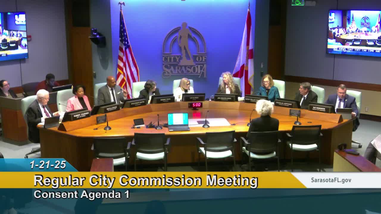
The City Commission unanimously approved a one-year contract Jan. 21 to produce survey-grade aerial and mobile lidar data covering roughly 84,100 acres and about 285 centerline miles of streets as part of a Resilient Florida grant-funded effort.
City engineer Nick Patel and city surveyor Bob Hagen told the commission the project, to be performed by WGI under the grant, will capture high-density point clouds for the city and upstream watershed areas and produce baseline surface definition, drainage-infrastructure layers and corridor-level detail useful for stormwater modeling.
"This will support models for predicting stormwater runoffs and finding those hot spots or vulnerable areas that are prone to flooding," Patel said. He told commissioners staff plans to integrate the lidar point clouds with existing 3D imagery and use the dataset to develop conceptual corridor plans and a future digital twin for stormwater management.
Patel said the grant requires the city to share the collected data with other government agencies, and he told commissioners the city will coordinate distribution to county and state partners. He also said the dataset can be used to extract tree-canopy information useful to the city—s urban forestry program.
Commissioners said the timing is appropriate given recent storm impacts. "Because of the weather events of the last hurricane season, matters such as this are still on the minds of many citizens," Commissioner Bennett said, and asked that the city use the data to seek infrastructure grants targeted to flood mitigation.
The commission voted to approve the agreement; commissioners were told the aim is to get the work underway quickly so collected data remain current.