Get Full Government Meeting Transcripts, Videos, & Alerts Forever!
Get email alerts on the Land Use Subdivision topic
No spam. Unsubscribe anytime.
Neighbor raises boundary concerns as commission reviews Wingate subdivision
Summary
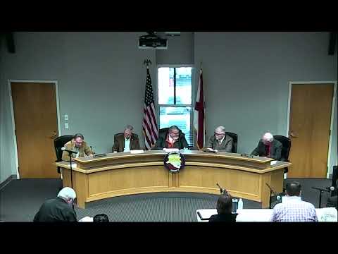
Ronnie Cornelius, a Limestone County resident and adjacent landowner, told the Limestone County Commission at a Feb. 3 work session that he has outstanding questions about property lines tied to the proposed Wingate subdivision and asked that survey pins be set before the project proceeds.
Ronnie Cornelius, a Limestone County resident and adjacent landowner, told the Limestone County Commission at a Feb. 3 work session that he has outstanding questions about property lines tied to the proposed Wingate subdivision and asked that survey pins be set before the project proceeds.
Cornelius said much of the subdivision’s north side borders his property and that past on-the-ground pins were placed “on the wrong side of the trees,” creating confusion. “Until we get the pins down, we don't really necessarily know what lines,” Cornelius said.
County Engineer Mark Massey told commissioners staff had required the developer to move lines on the plat to address earlier concerns and that the surveyor can stake the revised line. “They have moved that on the plat fairly significantly … they needed to come to an understanding and agreement on that property line before we would let it move forward,” Massey said. He also said he would provide Cornelius a copy of the updated plan.
Commission Chair (name not stated in the transcript) asked Cornelius to allow staff time to confirm the stakes; Cornelius said he would wait to review the pin locations before raising further objections.
The discussion also noted another nearby resident, Lynn Abney, as a neighbor on the creek side of the subdivision; Abney did not speak during the work session. Massey presented the Wingate subdivision as one of three plats under review during the engineer’s report. No formal vote or final approval of the plat was recorded during the work session; staff indicated follow-up with the developer and surveyor and that staking and updated plans would be provided to affected landowners before the matter advances.
The commission’s handling in the work session left the matter at the staff-review stage: the engineer will coordinate with the surveyor to stake the line and provide updated plat copies to concerned neighbors before the commission takes any final action.