Get Full Government Meeting Transcripts, Videos, & Alerts Forever!
Get email alerts on the Orienteering Maps And Events topic
No spam. Unsubscribe anytime.
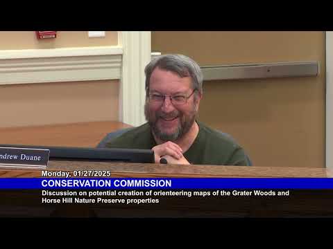
Orienteering club seeks permission to map Greater Woods and Horse Hill and hold periodic events
Summary
Up North Orienteers requested permission to create detailed orienteering maps of Merrimack’s Greater Woods and Horse Hill Nature Preserve and to hold occasional events; commissioners raised questions about off‑trail impacts, parking and school parcel permissions.
Jim R. Smalt, president of Up North Orienteers, told the Merrimack Conservation Commission on Jan. 27 that his nonprofit club would like permission to produce orienteering maps for the Greater Woods and Horse Hill Nature Preserve and to hold periodic orienteering events there.
Smalt described orienteering as land navigation done with detailed maps and courses, saying the club offers “up to 8 different levels of courses” with distances ranging from about 1 kilometer to as long as 15 kilometers and that local events typically draw about 30 to 50 participants while national events can attract up to about 200. He said the club charges modest entry fees (about $10 for local events, $40–$50 per day for multi‑day national competitive classes) and can provide a certificate of insurance if required by the town or schools.
Commissioners asked how off‑trail controls and multiple events would affect trails and sensitive areas. Smalt said beginner courses remain entirely on established trails and that higher‑difficulty, longer courses send relatively few participants off trail; he added the club avoids wetlands and marks out sensitive areas on its maps. “Our goal is to leave no trace,” Smalt said, and he described the club’s control markers as small 12‑inch white‑and‑orange flags that are placed and removed the same day of an event.
The commission raised logistics questions including parking, porta‑potty needs and overlaps with adjacent parcels. Smalt said he is willing to arrange porta‑potties and to coordinate start/finish locations with available parking; he identified Merrimack Middle School as a likely site with larger capacity and said Horse Hill has a small lot of roughly 20 spaces. Commissioners noted that parts of Greater Woods abut Amherst and advised Smalt to contact Amherst officials if course routing or parking might use Amherst property. The commission also noted that a portion of Greater Woods is managed under a memorandum of understanding with the school department and that permission from the school board would be required to use that parcel.
Commissioners also expressed concern that permitting off‑trail events might encourage unaffiliated users to practice off trail. One commissioner suggested allowing a single session as a pilot and then reviewing any impacts; Smalt said maps can show areas that are out of bounds and that the club updates maps when trails or site conditions change.
The commission did not take a formal vote. The chair noted the commission “has no problems with it as of now,” and Smalt said he would provide a copy of the map and follow up with the school board and Amherst as needed.
Next steps described on the record: Smalt will contact the school administration about the school‑managed parcel, seek permission from Amherst if required, provide a certificate of insurance if requested, and submit a map of proposed course areas to the commission for review.