Get Full Government Meeting Transcripts, Videos, & Alerts Forever!
Get email alerts on the Wildfire Resiliency topic
No spam. Unsubscribe anytime.
Placerville hears RCD plan to prioritize fuels treatments, defensible space across 80,000-acre study area
Summary
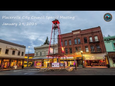
Placerville officials and about two dozen residents gathered for a special city council meeting Jan. 29 to review a community wildfire resiliency strategy developed by the El Dorado Resource Conservation District and consulting partners.
Placerville officials and about two dozen residents gathered for a special city council meeting Jan. 29 to review a community wildfire resiliency strategy developed by the El Dorado Resource Conservation District and consulting partners.
The plan covers an approximately 80,000‑acre study area surrounding Placerville and proposes a mix of short‑, medium‑ and long‑term actions: 24 landscape treatment locations identified by a data‑driven suitability model, expanded defensible‑space and home‑hardening programs, roadway clearance priorities and a public outreach and implementation framework. The presentation emphasized that the project aims to tie planned, active and completed treatments together so they act as a continuous buffer protecting the city center and critical facilities.
Why this matters: The strategy is intended to make Placerville and nearby communities more resilient to large, fast‑moving wildfires of the type that threatened the region during the Caldor and Mosquito fires. Consultants said the plan will be used to prioritize projects for state and federal funding and to create “shovel‑ready” projects that are CEQA‑cleared and ready to bid.
Consultants and RCD leaders said the project is meant to complement, not replace, county and utility plans. Julianna Prosperi, a consultant with WSP, said the effort "is intended to be a comprehensive, community specific plan" that builds on county hazard‑mitigation and evacuation studies and other local plans. Mark Egbert of the El Dorado RCD said the Sierra Nevada Conservancy provided an initial $320,000 grant to create the strategy and allowed the team to assemble the technical analysis and community outreach that underpin the recommendations.
Spatial analysis: Nick Miley of Spatial Informatics Group described how multiple datasets were standardized and run through a suitability model. He told the council, "This is the last step before we actually start, getting the chainsaws running, getting the masticators out on the landscape," and said the model produced 24 prioritized treatment locations and a first tier of roughly 10 priority polygons the team recommends for 1–3 year work.
The strategy divides the study area into three treatment zones—city center, wildland‑urban interface (WUI) and periphery—and proposes matching treatment types and timing for each zone. Consultants said defensible‑space radii around buildings and a 50‑foot road buffer would, if widely adopted, cover a substantial portion of the study area; landscape treatments are meant to plug remaining continuity gaps.
Costs and funding: Consultants described multiple funding pathways and preliminary cost ranges. The team said treatment costs vary by vegetation type and logistics, and gave a working per‑acre treatment range of approximately $1,300–$2,000 per acre (not including ongoing management). Consultants said they are targeting an initial project bundle roughly in the $10 million range and noted the statewide Regional Forest and Fire Capacity program (identified in the meeting as a major funding source) had about $50 million available to eligible entities. El Dorado RCD is listed as an eligible entity for some of the program funds.
Implementation and next steps: The consultants said draft plan chapters are posted on the El Dorado RCD website and the strategy will be opened for public comment, proceed through CEQA environmental review, and then be available for formal adoption by the city council. The plan’s action plan will assign responsible agencies, partner organizations, tentative timelines, cost estimates and likely funding sources for each recommended project.
Public questions and staff responses: During Q&A, residents raised practical concerns about coordination with utilities (PG&E), debris left after utility vegetation work, how property owners will be contacted for voluntary participation, how priorities will align with county and federal land managers, and the status of funding. Consultants and RCD staff said utilities are represented on the project’s technical advisory committee, that the RCD can partner with utilities and landowners where access and funding permit, and that participation on privately owned parcels is voluntary and requires landowner permission. El Dorado County Fire representative Luke Shepherd said the "one‑way in, one‑way out" designation is one factor in prioritization but not the sole determinant of risk.
Ending: Presenters invited the public to review posted chapters, provide written comments to the RCD team and attend follow‑up neighborhood discussions for specific projects. Mark Egbert and other RCD staff offered site visits to demonstrate completed treatments and to show the practical work on nearby projects such as Texas Hill.