Get Full Government Meeting Transcripts, Videos, & Alerts Forever!
Get email alerts on the Redistricting topic
No spam. Unsubscribe anytime.
Board reviews three proposed trustee-area maps; no final vote
Summary
At a Jan. 27 special meeting the Mountain View-Los Altos Union High School District board reviewed three draft trustee-area boundary maps drawn to equalize population across five trustee seats, requested additional overlays and data, and scheduled a second public hearing; no map was adopted.
At a Jan. 27 special meeting, the Mountain View-Los Altos Union High School District board heard a presentation of three draft trustee-area boundary maps intended to create five population-balanced trustee areas but took no final action.
Ken Reynolds, the consultant who drew the draft maps, told the board the district’s total population as counted in the 2020 U.S. Census is 117,723 and that with five trustees the target population per trustee area is 23,545. "I know it's several years ago, but that is the data we're required to use to develop the equal populations," Reynolds said during his presentation.
The maps are intended to meet legal redistricting criteria, Reynolds said, and each plan shows different ways to divide the district to achieve roughly equal total populations while respecting contiguity and compactness. Reynolds displayed three options (labeled A, B and C) and summarized key statistics for each: Map A had a peak total-population deviation of about 1.06 percent; Map B about 1.7 percent; and Map C about 2.83 percent — all well within the 10 percent threshold the consultant cited as the legal standard based on total population. Reynolds cautioned, however, that other measures show larger variation: some maps had adult-population deviations around 5.5 percent, and citizen voting-age population (CVAP) variances of roughly 17 percent to 25 percent depending on the plan.
The plans also differed in how high-school students cluster. Reynolds said Area 4 had the largest high-school student population in Map A, while in Map C Areas 4 and 5 each had just over 1,000 high-school students under that option. Exact high-school counts by area were provided as summary figures during the presentation; the board asked for a clearer visual overlay to show which trustee areas send students to Mountain View High School versus Los Altos High School under each option.
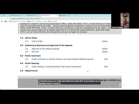
David Saldahi, the district’s attorney, reminded the board that a new state law that took effect this year requires mapmakers to apply a specific, prioritized list of criteria when drawing trustee-area boundaries. "Under the law that took effect this year, we don't have as much flexibility to include things such as the number of high school students and these other local considerations," Saldahi said, adding that local factors such as neighborhood associations or student counts may be incorporated only to the extent they do not conflict with higher-priority legal requirements.
Board members and members of the public asked Reynolds and staff to add several overlays and data summaries to help evaluate options: a layer showing city-recognized neighborhood-association boundaries for Mountain View (and similar neighborhood groups in Los Altos if available), elementary- and middle-school boundary layers, the district boundary overlay, and a breakdown of how many students in each proposed trustee area would attend each of the two comprehensive high schools. Several trustees also asked for a concise summary comparing how each map affects representation of demographic groups called out in the census tables (Hispanic/Latino, Asian, white non-Hispanic, etc.).
Reynolds said the mapping tool can produce the requested overlays and additional maps; staff members offered to provide links and to email layered map views. The board chair (not named in the transcript) said the district would hold a second required public hearing in March after additional outreach to parents and school advisory groups. Reynolds noted that, after board approval of a final map, the plan must also go to the county committee for its approval.
No motion to adopt any proposed map was made at the meeting. The board closed the hearing and adjourned the special meeting; the transcript records that the board intends to select a plan and determine which three trustee areas will be on the 2026 ballot at a later meeting once additional public input and the requested overlays are available.
The district presented figures drawn from the 2020 Census and the American Community Survey–derived CVAP data; the transcript and presenter repeatedly distinguished that the legally controlling population measure for map legality is total population from the 2020 census, while other statistics (adult population, CVAP, student counts) are informative but may produce larger variance.